Apparent wind vs true wind is one measurement taken in two reference frames, and separating them takes three inputs: a wind reading, a heading, and a boat speed. Apparent wind is what your sensor actually reads, and it contains the wind your own boat is making. True wind is the same air with the boat’s velocity vector removed, so you get it by subtracting boat speed from the apparent reading rather than by pointing another instrument at the sky.
Done properly the whole job is about ten minutes. Sailors need it for trim and polars, marine sensor builders need it to know whether a logger is reporting a real air mass, and anyone putting wind sensors on a moving platform has to subtract that platform’s motion before the number means anything.
This guide is written for equipment in use in 2026, so it assumes NMEA 2000 networks and masthead units are normal rather than exotic.
Table of Contents
- What You Need to Measure Apparent Wind vs True Wind
- Step-by-Step: Measuring Apparent Wind vs True Wind
- Common Mistakes That Corrupt the Comparison
- Frequently Asked Questions
- Do I need separate instruments to measure apparent wind and true wind?
- Can GPS alone measure true wind on a moving boat?
- What is the difference between apparent wind and true wind?
- How far above the water should a wind sensor be mounted?
- How do I calculate true wind from apparent wind and boat speed?
- Why does my true wind reading change when I turn the boat?
- Conclusion
What You Need to Measure Apparent Wind vs True Wind
Three inputs, and only three: a wind sensor, a heading, and a speed. Everything else on the list is a quality check on one of them.
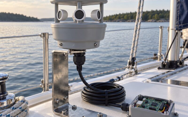
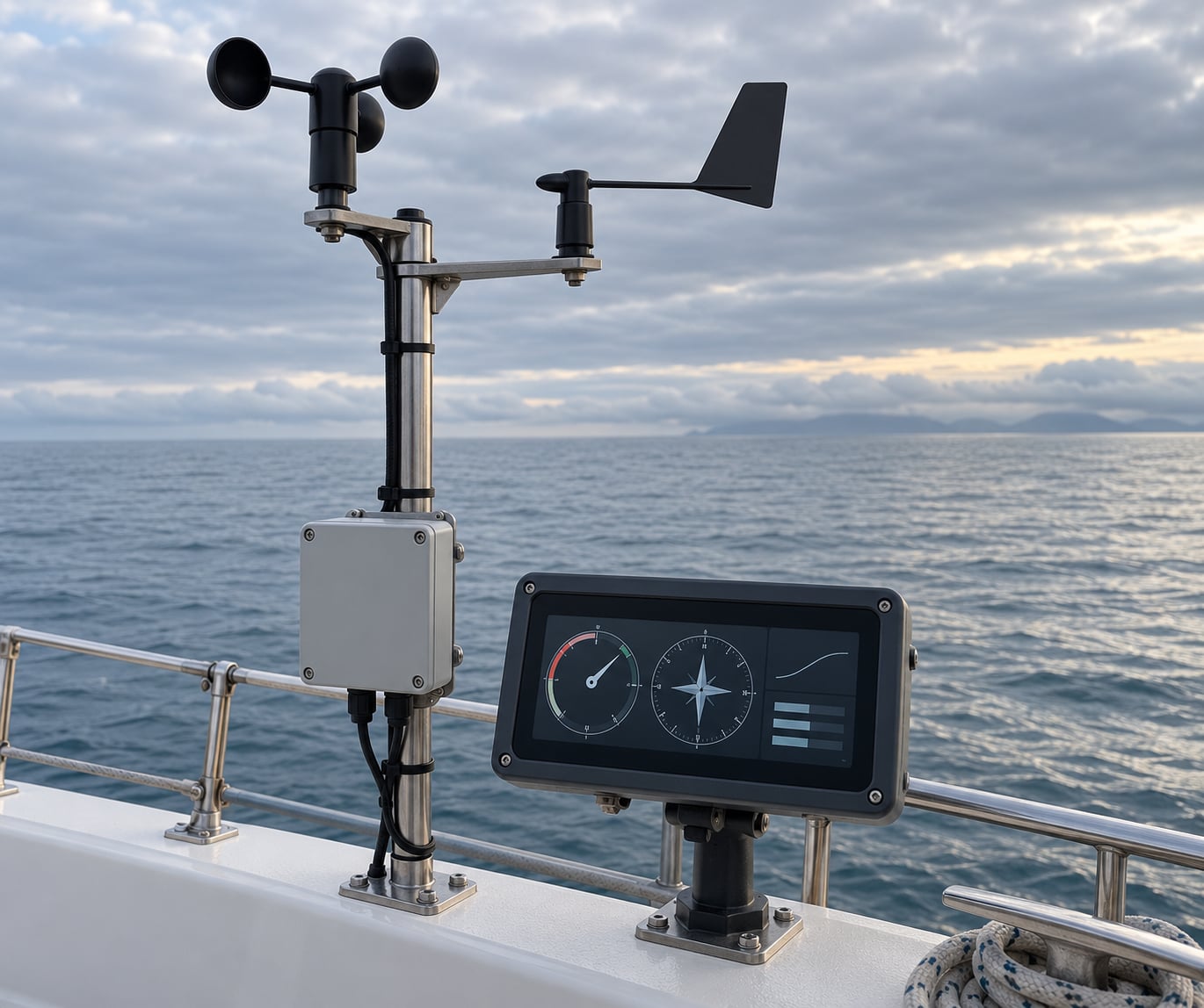
- Wind sensor at a measured height. A masthead anemometer measures speed only, a windvane measures direction only, and an aerovane (both in one housing) does both. Ultrasonic anemometers have no moving parts and keep working in icing conditions where rotating cups freeze up.
- Heading source. A magnetic compass with a deviation card, a gyro, or a GPS-fed magnetometer. Heading is where the bow points, which is not the same thing as the course the boat tracks across the ground.
- Speed source. Speed through water (STW) from a paddlewheel or pitot log, or speed over ground (SOG) from GPS. You will use both for different jobs, and the choice changes your answer.
- Logger. A GPS or phone app that writes a timestamped line per sample, or a NMEA-capable display recording CSV. Without a logger you are guessing at synchronization later.
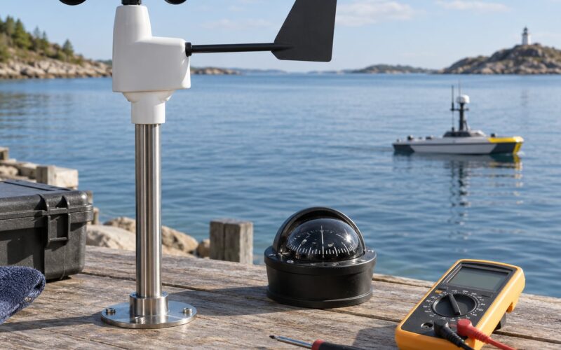
- Optional but useful. A handheld anemometer for a dock comparison, an inclinometer for heel angle, and a hand-held Windex for a quick direction read.
On a NMEA network, remember what each device can and cannot do. MWV and VWR sentences carry apparent wind; VWT carries true wind referenced to water. An integrator on the Panbo board confirmed from logged live data that a masthead anemometer emits apparent wind only, a combined sensor with a built-in compass adds ground wind, and the boat-referenced true wind appears once an autopilot computer has both heading and speed to work with.
Step-by-Step: Measuring Apparent Wind vs True Wind
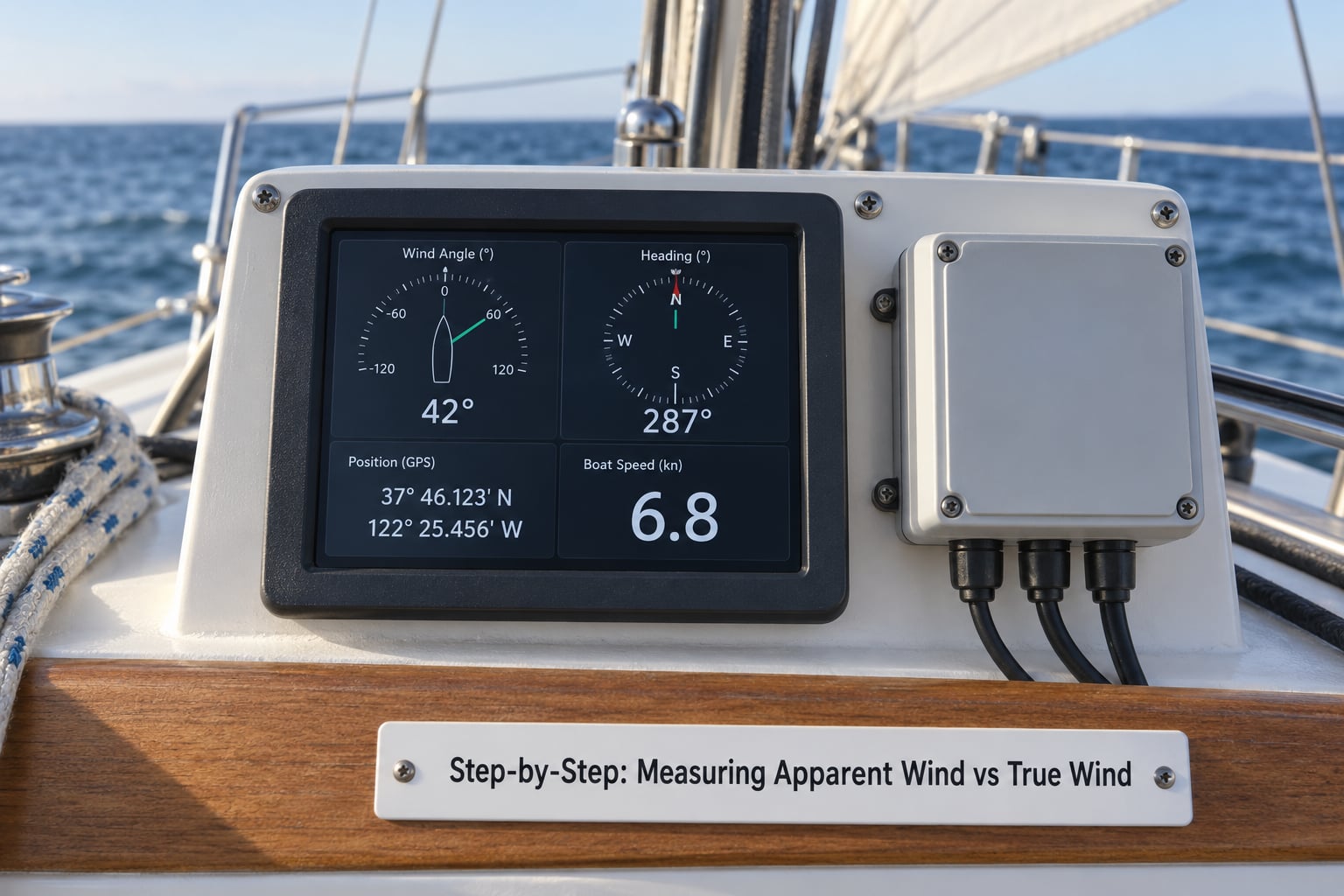
Step 1: Measure Apparent Wind at a Known Height
Mount or hold the sensor where you can state its height in the log, and write that number down. A masthead unit is typically 5 to 10 metres above the water; a handheld anemometer held at head height is a different measurement entirely.
Let the reading stabilize before you record it. Give it 30 to 60 seconds after any change, then log a 60-second mean plus the maximum you saw, because a mean alone hides the gust that actually bent your rig.
Record direction the way the instrument reports it: an angle off the bow, and the direction the wind comes from. Most displays show a relative angle first and a compass direction second, and those are two different fields in the data.
Height matters more than most people expect. A 10-knot wind at 100 feet reads about 8 knots at 33 feet and about 7 knots at 12 feet, so a sensor moved from the masthead to a cockpit rail changes the answer by a knot or two before any arithmetic starts.
Step 2: Record Boat Speed and Heading
Log speed and heading in the same second as the wind reading, from the same instrument if you can. GPS gives you SOG and COG; a log gives you STW; a compass or magnetometer gives you heading.
The decision rule I use: use STW when the question is about the boat and the sails, so trim work, polars, and performance prediction. Use SOG when the question is about the air mass actually passing over the ground, which is what a weather forecast describes and what matters in a tidal current. Users who switched a display from STW to SOG noticed the true wind direction shift as they entered and left the stream.
Keep the two speeds in separate columns. Most confusion on the water comes from reading a heading value that the display labelled as a course.
Step 3: Determine Wind Direction Relative to the Boat
Fix your references before you touch the numbers: zero degrees is dead ahead off the bow, 90 is the beam on either side, 180 is dead astern, and a negative or 270 value means the wind is over the opposite side. Port and starboard are the boat’s sides, so a reading off the port bow is negative under most sign conventions.
Settle the direction-to versus direction-from question once, for the whole log. Wind direction is always reported as the direction the wind blows from, at 090 being a wind out of the east. Sensors that report the vector the air travels along give you the reciprocal, and mixing the two is the single most common reason a computed true wind comes out 180 degrees wrong.
Step 4: Calculate or Verify True Wind
The rule in one line: apparent wind vector equals true wind vector plus boat velocity vector, so true wind equals apparent wind minus boat velocity. Work in one shared frame, which makes the arithmetic boring and reliable.
Set an east-north grid where x points east and y points north. Convert each vector into components, remembering that a direction of D is the compass bearing the air moves toward once you drop the “from”: x equals speed times the sine of D, y equals speed times the cosine of D. Then subtract the boat components from the apparent components, take the square root of the sum of the squares for the speed, and read the compass direction back off the result.
Worked example: apparent wind reads 12 knots from 40 degrees off the port bow, the boat is making 6 knots on heading 090, and heel is under 5 degrees. The apparent air travels toward 230 degrees, giving components of 12 times sine 230 (minus 9.19 east) and 12 times cosine 230 (minus 7.71 north). The boat’s 6 knots on 090 gives 6.00 east and 0 north. Subtracting the boat vector leaves about minus 15.19 east and minus 7.71 north, a magnitude of 17.0 knots travelling toward 243 degrees.
Report the reciprocal, since direction is always from: true wind 17 knots from 063, or 27 degrees off the bow on a boat heading east. That is the whole calculation, and the same three lines work in reverse if you start from a forecast and want the apparent wind you will feel.
Now check the answer two ways. The true wind angle must be smaller than the apparent wind angle when you are sailing forward and close-hauled, because boat speed always pushes the apparent wind further forward. Second, compare against an independent reference such as a second sensor, a nearby display already computing true wind, or the forecast direction for your area; in open water a mismatch of more than about 10 degrees means one of your three inputs is wrong.
Step 5: Compare the Two Wind Measurements
Put both numbers on the same line of one log so the relationship is visible instead of remembered. Using the example above, a minute of readings looks like this:
| Recorded | Apparent speed | Apparent angle | Boat speed | Heading | True speed | True angle |
|---|---|---|---|---|---|---|
| T+00 | 12.0 kn | 40 port bow | 6.0 kn | 090 | 17.0 kn | 27 port bow |
| T+60 s | 13.4 kn | 38 port bow | 6.3 kn | 088 | 17.9 kn | 31 port bow |
Read that for headwind, tailwind, or crosswind conditions. An apparent angle smaller than the true angle means you are pressing, and a larger apparent angle means the wind is coming further onto the nose than the raw air mass would suggest.
The gap is widest when boat speed is large compared with wind speed, and when heading is near downwind, which is exactly when the arithmetic is most sensitive to a small speed error. In light air under a slow boat, apparent and true wind are nearly the same number, so a measurement there tells you very little about either. The two are hardest to separate precisely when the boat is fastest, which is a good reason to average a long window rather than a single sample.
Step 6: Check Sensor Accuracy and Repeatability
Confirm the sensor’s zero matches the boat’s centerline before trusting any angle, and check the compass against its deviation card rather than assuming zero error. Keep the sensor clear of steel, engine wiring, and high-current runs, since a magnetometer in that spot will drift.
Account for heel. A masthead unit swings outboard as the boat leans, so at 6 metres of mast height and 20 degrees of heel the head is displaced about 2 metres sideways and reading a biased angle and speed. Leeway and current do the same thing to course over ground, which is why heading and COG should appear as two separate fields in your log.
Use a fixed averaging window, 60 seconds for comparison work, and keep the raw 10 Hz stream if your logger offers it. Then repeat the reading. Two readings a few minutes apart that agree within a few degrees are a measurement; one reading is an anecdote.
Common Mistakes That Corrupt the Comparison
Using heading where course over ground belongs. Heading is where the bow points. Any current or leeway opens a gap between heading and COG, and that gap lands directly in your true wind angle. Fix: log both, and use the one your question calls for.
Feeding a paddlewheel log as speed through water without checking it. A field note on the Panbo board reported paddlewheels under-reading at low speed and over-reading above roughly 6 knots, so the STW you trust at anchor is not the STW you get at speed. Fix: compare the log against GPS SOG in flat water at two or three speeds, and note the offset in your log header.
Comparing readings taken at different heights. A sensor moved from masthead to rail changes the reading by a knot or more before any math happens. Fix: write the measurement height into every line.
Averaging away the gusts. A 60-second mean is right for comparing conditions and wrong for describing a gust. Fix: log the mean and the peak as two fields.
Ignoring heel and leeway. Neither shows up as a sensor fault, so nothing warns you. Fix: log heel from an inclinometer, and treat large values as a reason to repeat the reading rather than adjust it.
Mixing direction-to with direction-from. One flip puts the true wind exactly 180 degrees out. Fix: state the convention once in the log header and check the first line against a forecast.
Comparing a magnetic reading to a forecast in true north. Magnetic variation and local deviation both shift the number. Fix: apply variation from a chart or table before comparing, and note your deviation card offset.
Waiting for a display to compute true wind with a missing input. Forum reports describe displays that quietly show nothing rather than an error when heading or speed is unavailable. Fix: confirm all three inputs are live in the data stream before you trust a true wind field.
Frequently Asked Questions
Do I need separate instruments to measure apparent wind and true wind?
You need three inputs, not three instruments. One sensor supplies apparent wind speed and direction, one compass or magnetometer supplies heading, and one speed source supplies speed through water or speed over ground. The boat does the vector subtraction for you if the display or autopilot has all three. A combined wind sensor with a built-in compass still needs a speed input before it can report boat-referenced true wind.
Can GPS alone measure true wind on a moving boat?
No. GPS gives you speed over ground, course over ground, and position, but it measures the boat’s motion rather than the air. Paired with a wind sensor and a heading source it lets you compute true wind, and GPS speed is the better input when you care about the air mass passing over the ground. With GPS alone you have no wind reading at all, so the comparison is impossible.
What is the difference between apparent wind and true wind?
Apparent wind is the wind as your sensor reads it on a moving boat, and it includes the wind your own boat is making. True wind is that same air with the boat’s velocity vector subtracted out, so it describes the air mass over the water alone. Apparent wind is always the one your sails respond to, and true wind is the one used for polars, forecasts, and comparing conditions across days.
How far above the water should a wind sensor be mounted?
Mount it as high as practical and record the height. Masthead units commonly sit 5 to 10 metres above the water, which keeps them clear of the disturbed air around the hull and rig. A cockpit rail reading is lower and rougher, and a handheld held at head height is lower still. For scale, a 10-knot wind at 100 feet reads about 8 knots at 33 feet and about 7 knots at 12 feet.
How do I calculate true wind from apparent wind and boat speed?
Subtract the boat’s velocity vector from the apparent wind vector. Convert both to components in one frame, take the apparent components minus the boat components, then get the speed from the square root of the sum of the squares. The direction of that result is where the air moves toward, so report the reciprocal, since wind direction is always the direction it comes from.
Why does my true wind reading change when I turn the boat?
It should change, and the change is the whole point of the calculation. Turning changes both the apparent reading and the heading input, so the two vectors swing by different amounts and the computed true wind moves. On a straight heading in steady air the value should stay steady, so a true wind figure that wanders while you hold a constant course points at heel, leeway, current, or a misaligned sensor rather than at the math.
Conclusion
Start with one synchronized minute: an apparent wind reading with its measurement height, a speed value, and a heading, all stamped at the same second. Convert both wind and boat vectors into a single east-north frame, subtract, and check the result against a forecast and a second reading before you believe it.
Once that minute is logged, the loop is quick, and it works the same on an ocean robot or a drone once you substitute that platform’s own velocity for the boat’s.