Upwelling is the process in which deep, cold, nutrient-rich ocean water rises toward the sunlit surface. It happens because wind pushes surface water away from a coast or away from the equator, and mass conservation forces deeper water upward to fill the gap. That is the short version of how upwelling works, and everything else follows from those nutrients arriving in daylight.
If you have ever wondered why the Pacific off California stays cold in August, why San Francisco has fog in July while Phoenix bakes, or why a stretch of coast suddenly produces the best fishing of the week, upwelling is the common thread behind all three.
This guide walks through the physics, the places it happens, the way scientists watch for it, and the ways it helps and harms the coast.
Table of Contents
- What Is Upwelling and Why Does It Matter?
- How Upwelling Works: From Depth to the Ocean Surface
- What Causes Upwelling in the Ocean?
- Why Does Upwelling Bring Cold, Nutrient-Rich Water?
- Where Does Upwelling Happen Most Often?
- How Do Scientists Measure Upwelling?
- What Effects Does Upwelling Have on Marine Life and Weather?
- Upwelling and Downwelling: What’s the Difference?
- Frequently Asked Questions
- Conclusion
What Is Upwelling and Why Does It Matter?
Upwelling is the upward movement of water from below the sunlit surface layer into it. The water that comes up has spent a long time in the dark, and while it was down there it accumulated dissolved nutrients, dissolved carbon dioxide, and the chemical signature of old water. It is usually colder, less oxygenated, and more acidic than the water it replaces.
It is not the same thing as a surface current. A surface current is water moving horizontally across the top of the ocean, driven by wind and shaped by the Earth’s rotation. Upwelling is vertical. The two are linked, but a strong surface current can exist with no upwelling at all, and upwelling can be driven by things other than surface current.
Downwelling is the mirror image. Instead of deep water rising, surface water is pushed downward, carrying oxygen and heat with it. Where upwelling happens, water leaves; where downwelling happens, water piles up. Both processes run at the same time in different places.
The stakes are bigger than water temperature. Upwelling drives the supply of nutrients that fuels a large share of the planet’s primary production, and therefore its fisheries, seabird colonies, and kelp forests. It also cools coastlines, feeds the summer marine layer, and moves carbon out of the atmosphere and into the deep ocean. Without it, large parts of the ocean would be far less productive than they are.
Upwelling is also one of the more visible ocean processes for people who do not work in oceanography. The evidence shows up on a beach as a sudden drop in water temperature, a bank of low stratus cloud that will not lift, kelp fronds lying flat on a reef, or a thick line of foam and color where two water masses meet.
How Upwelling Works: From Depth to the Ocean Surface
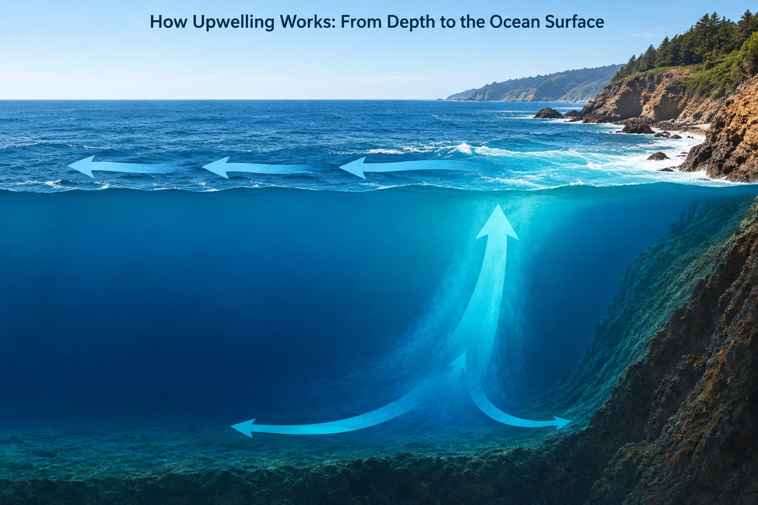
Water does not rise because it is lighter or because it wants to reach the light. It rises because the surface water above it has been moved away, and a hole in the ocean has to be filled. The mechanics of how upwelling works come down to four things happening in sequence.
How upwelling works step by step: the four-step mechanism
- Deep water is already moving horizontally along the coast. Below the surface, the ocean circulates on a much slower loop. Along a western continental coast, that deep flow typically runs poleward, feeding the western boundary current that flows toward the pole.
- Wind drags the surface layer offshore. Friction transfers wind stress into the top few tens of meters of water. The surface moves with the wind, taking the layer it just displaced along with it.
- Earth’s rotation turns that surface flow about 90 degrees. The Coriolis effect deflects moving water to the right of its direction of travel in the Northern Hemisphere and to the other side in the Southern Hemisphere, where the rotation runs the opposite way. The net transport of the whole surface layer ends up roughly at a right angle to the wind rather than downwind.
- Surface divergence leaves a deficit that deeper water fills. Water moved aside has to come from somewhere. Gravity and the pressure difference push cooler, denser water up from below, and it spreads sideways along the coast once it reaches the top.
| What moves | What causes it | What you can observe |
|---|---|---|
| Surface water slides offshore | Wind stress on the sea surface | Cool water and rougher surface close to shore |
| Surface flow turns 90 degrees from the wind | Coriolis effect from Earth’s rotation | Drifters and floating debris track at an angle to the wind |
| A band of low pressure forms at the coast | Divergence in the surface layer | Sea level is fractionally lower near the shoreline |
| Cold deep water rises toward the surface | Mass conservation and gravity | Sea surface temperature drops, sometimes fast |
| Upwelled water spreads along the coast | The bottom boundary of the rising layer | A sharp temperature front between cool and warm water |
The one part people routinely get wrong is the 90-degree turn. The water does not simply blow straight out to sea and leave a gap at the coast. It turns as it goes, so along a north-south coast a wind blowing parallel to the shoreline in the Northern Hemisphere can still hollow out the water directly next to land. That is why winds that look sideways are the ones that make upwelling happen.
What Causes Upwelling in the Ocean?
Wind is the usual explanation, and it is the right one most of the time. But the coastline’s orientation, the strength of the Earth’s rotation at that latitude, and the shape of the seafloor all decide how much water actually moves, and a handful of upwelling systems run on no wind at all.
Ekman transport: the steering force that makes upwelling happen
Ekman transport is the net movement of the upper ocean caused by wind stress and Earth’s rotation combined. Wind sets the top layer spinning, and as it turns it slows with depth, so each depth slice is deflected a little differently. The result is a shallow spiral of rotating water, and the net transport of that spiral points about 90 degrees to the right of the wind in the Northern Hemisphere.
Along a west-facing coastline in the Northern Hemisphere, the trade winds and the westerlies typically blow in a direction that turns surface water away from land. Every 100 meters or so of offshore surface transport has to be replaced. Oceanographers call the resulting rise Ekman suction; when the surface water is pushed toward the coast instead, the downward motion is called Ekman pumping.
There is also a scale to it. The Ekman depth, where the spiral effectively stops carrying water, is set by how strong the wind is, how fast the water rotates with the planet, and how turbulent the surface is. Stronger winds and rougher seas push that depth deeper, which means more water has to be replaced and a stronger upwelling response.
Why the effect weakens near the equator
The Coriolis effect depends on latitude. Its strength is proportional to the sine of latitude, so it falls to zero at the equator and is weak in the tropics. In the Northern Hemisphere this is why the California Current system has a clearly seasonal, wind-driven upwelling season, while the equatorial Pacific relies on a different balance where the Coriolis effect barely acts.
Near the equator, the trade winds push surface water westward and slightly north of the line, and the rising water is held in by a shallow warm layer. The upwelling is enormous, but it is organized differently. Where coastal upwelling is shaped by a coastline, equatorial upwelling is shaped by the boundary between two water masses drifting in opposite directions along the same latitude band.
Wind is not the only way water rises
Several other mechanisms push deep water toward the surface, and they matter in places where the wind is weak or the coast is far away.
- Wave-driven upwelling. Breaking waves on a beach push surface water up and over the breaking point. The return flow underwater and the turbulence that goes with it carry nutrients and sand nearshore, which is part of why surf zones are lively even when the wider coast is not upwelling.
- Buoyant plume upwelling over seamounts and shelf breaks. When a current hits an obstacle it is forced upward, flows over the crest, and plunges down the far side. A seamount several kilometers offshore can generate a plume of cold, nutrient-rich water that reaches the surface far from any coast.
- Eddy-driven upwelling. Cyclonic eddies rotate in a way that pushes water up in their center. Mesoscale eddies are common off California and in the North Atlantic, and they carry patches of cool, productive water across otherwise warm water.
- Tropical cyclone upwelling. A hurricane stirs the ocean deeply and drags cold, nutrient-rich water to the surface across a wide area. This is the strongest short-term mixing event in the tropical ocean, and it is why storms both cool the surface and scatter fish.
- Tidal and internal-wave mixing. Strong internal waves breaking over a shelf, or tidal flow over a sill, can lift deep water and nutrients into a shelf surface layer without any surface wind at all.
None of these is exotic. They are simply the same mass-conservation story with a different forcing, which is a useful way to hold the whole subject in your head.
Why Does Upwelling Bring Cold, Nutrient-Rich Water?
Surface water is nutrient-poor for a simple reason. Phytoplankton and everything that eats them consume the available nitrate, phosphate, and silicate, and the sinking fragments that fall out of the sunlit layer carry the rest of that supply downward. Decomposition in the dark releases more nutrients from the organic matter, and those nutrients accumulate in the deep water where nobody is using them.
So the ocean has a slow nutrient pump running downward all the time. Upwelling is the return stroke. When deep water reaches the surface, the nutrients enter sunlight, phytoplankton grow fast, and a bloom forms. That bloom is the base of the food web: copepods, krill, sardines, anchovies, seabirds, whales, and the people who eat them.
The nutrients also come with a chemical bill. Deep water that spent years in the dark has used up its oxygen through respiration, and it carries dissolved carbon dioxide from that same respiration, which makes it more acidic and lower in pH. Carbon that sinks this way is carbon that stays out of the atmosphere, so upwelling regions play an outsized role in how the ocean moves carbon around.
One correction worth making: cold water is not what causes upwelling. The cold is a symptom. The water rises because surface water left, and it happens to be cold because the deep layer it came from was never near the sun. If someone tells you cold water sinks and that is why water rises to replace it, the causality is backwards.
Where Does Upwelling Happen Most Often?
Upwelling concentrates in a small number of places, and they follow a pattern. The best coastal upwelling happens on the west coasts of continents in the mid-latitudes, where the prevailing winds blow along the shore toward the pole. The largest single upwelling system on Earth is the equatorial Pacific.
| Location | Typical driver | Usual water movement | Likely ecological effect |
|---|---|---|---|
| California Current, west coast of North America | Northerly winds along the coast in spring and summer | Surface water offshore, cold water rising inshore | Kelp forests, sardines and anchovy, marine layer fog |
| Peru-Humboldt Current, South America | Persistent southeast trade winds | Equatorward surface flow, strong coastal rise | Enormous anchoveta fishery, one of the world’s most productive |
| Benguela Current, southwest Africa | South-easterly winds along the coast | Offshore surface flow, narrow coastal upwelling band | High fish production alongside low-oxygen events |
| Canary Current, northwest Africa | Trade winds along the coast | Southward surface flow with coastal rise | Moderate fisheries, Saharan dust fertilization |
| Equatorial Pacific | Trade winds pulling surface water west | Divergence along the equator, cold tongue in the east | Very high primary production, the engine of ENSO |
El Niño and La Niña reorganize this picture year to year. During El Niño, weakened trade winds allow warm water to spread east across the equatorial Pacific, which suppresses equatorial upwelling in the east. Fisheries off Peru and Ecuador can lose a large fraction of their usual production in a single season, and the effect on salmon runs in the North Pacific can take years to play out. During La Niña the opposite happens, and the eastern equatorial Pacific runs colder and more productive than usual.
How Do Scientists Measure Upwelling?
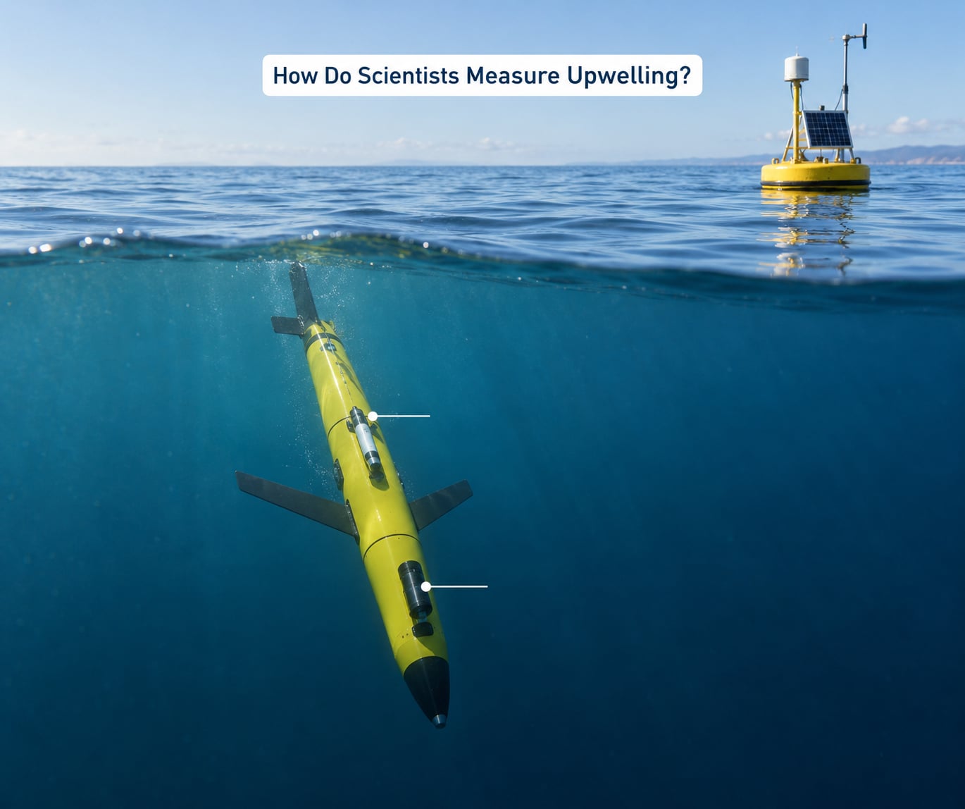
There is no single instrument that watches for upwelling, because upwelling is a motion, not a thing. Scientists combine several methods, and each one answers a different part of the question.
Satellite sea surface temperature is the broadest tool. A thermal infrared sensor maps the skin temperature of the ocean every few days, which makes it easy to spot a cold band along a coast or a cool plume behind a seamount. It is indirect, since it only sees the surface, and clouds cover it often, but it gives coverage nobody else can match.
Satellite ocean color measures chlorophyll-a. When upwelling delivers nutrients, phytoplankton grow, and the water looks greener. Comparing a temperature image with a color image tells you whether a cool patch is a genuine upwelling signal or just a passing cloud shadow.
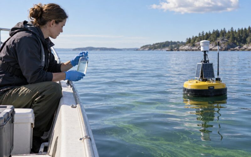
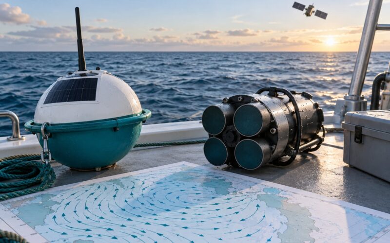
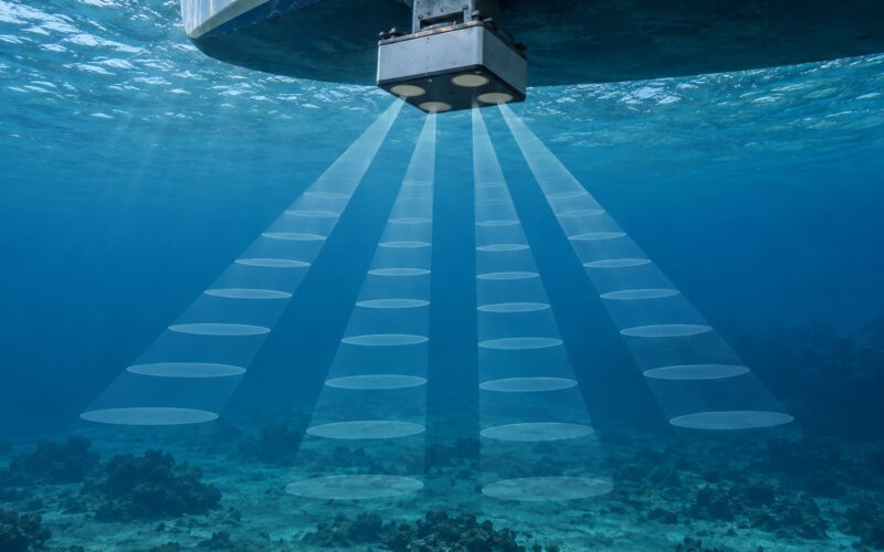
Moored instruments sit in one place and record continuously. A mooring can carry a temperature string, an acoustic Doppler current profiler measuring current speed and direction through the water column, and sensors for oxygen, chlorophyll, and carbon dioxide. A mooring array along a coast is the closest thing to a permanent watch on upwelling.
Drifting buoys and Argo floats move. Argo floats park at depth, then rise to the surface every ten days or so, measuring temperature and salinity on the way, which produces a vertical profile repeated across the whole ocean for close to a global network.
Gliders are small unmanned underwater vehicles that fly up and down a programmed path for months. They cover a horizontal line while sampling a vertical profile on every pass, which is exactly the measurement shape an upwelling plume needs. They also carry oxygen and carbon dioxide sensors on the more advanced builds.
Research vessels still matter. A CTD cast measures conductivity, temperature, and depth as the ship lowers an instrument package, giving a high-quality profile that other instruments are calibrated against. Bottle samples taken on the way up provide nitrate, silicate, oxygen, and pH values.
For a reader who just wants to know what is happening on a coast right now, there is a practical sequence. Look at the satellite sea surface temperature image for the coast and check whether there is a cool band within a few kilometers of shore. Then compare it against wind speed and direction: upwelling usually follows sustained, coast-parallel winds, and it lags wind changes by a day or two. Then confirm with a buoy report, a glider track, or a recent CTD profile.
A simple index exists for this at many coasts. Upwelling indices are built from the alongshore wind component, since wind parallel to the coast is what drives the effect. A positive index value means favorable conditions for upwelling, and the value roughly scales with how much of it you should expect.
What Effects Does Upwelling Have on Marine Life and Weather?
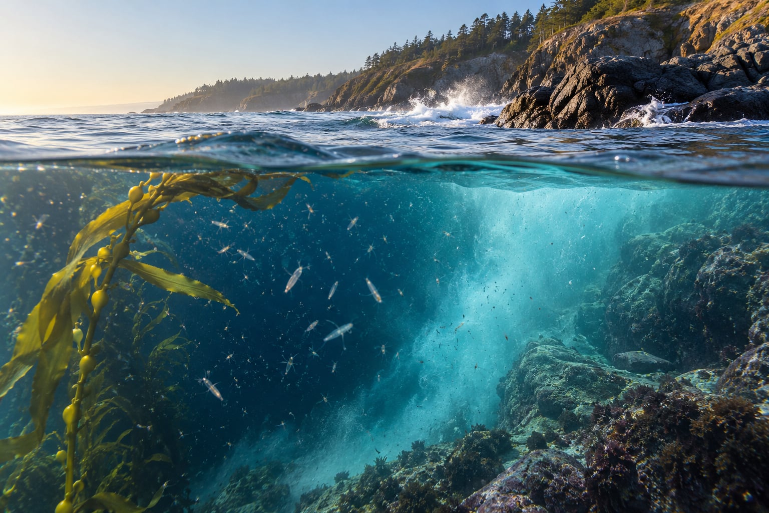
On the living side, upwelling is usually good news. A sustained nutrient supply is what keeps kelp forests, mussel beds, and sardine populations going through a summer that would otherwise be too warm and too clear. Anglers watching for bait balls have learned the pattern that fish concentrate inshore and at the upwelling front when the wind is strong, and vanish offshore when it slackens.
On the weather side, the effect is the summer marine layer. Cold upwelled water cools the air directly above it, and that cool, moist air flowing inland over warmer land creates the low stratus and coastal fog that dominates west-coast summers. The same process keeps air temperatures moderate near the coast, redistributes heat between ocean and atmosphere, and makes the temperature difference between the surf and the beach larger than people from other coasts expect.
There are costs as well. Nutrient loads are not always welcome: they can fuel harmful algal blooms, some of which produce toxins that close shellfish harvests. Decaying bloom material and respiration in the newly arrived deep water can strip dissolved oxygen out of the bottom layer, and if the coast is shallow and poorly flushed, that produces the low-oxygen dead zones associated with fish kills.
Upwelled water is also naturally more acidic, because it carries dissolved carbon dioxide accumulated in the deep ocean. Coastal species in these systems are already dealing with that, and some show measurable differences in shell structure and larval survival between nearshore and offshore water. Whether the upwelling signal helps or hurts a given population usually comes down to duration. A short, natural pulse is normal. A long, warm, stagnant summer is not.
Upwelling and Downwelling: What’s the Difference?
Both processes are driven by the same physics, in opposite directions. When the Coriolis effect turns surface water away from a coast or the equator, water rises. When it turns surface water toward a coast, water sinks.
| Aspect | Upwelling | Downwelling |
|---|---|---|
| Direction of water movement | Deep water rises into the surface layer | Surface water sinks into the deep layer |
| Surface water | Moved away from the coast or the equator | Pushed toward the coast |
| Common driver | Coast-parallel or trade winds plus the Coriolis effect | Oppitely directed winds, or converging currents |
| Nutrient effect | Brings nutrients up into sunlight, raises productivity | Carries nutrients down out of the sunlit layer |
| Oxygen and pH | Lower oxygen, lower pH | Higher oxygen, higher pH |
| Surface appearance | Cool, often green, sometimes foggy; rougher near shore | Warmer, clearer, smoother; often calmer nearshore |
| Typical locations | West coasts of continents in mid-latitudes, the equatorial Pacific | East coasts of continents, polar seas, offshore of the trade-wind zones |
| Coriolis handedness | Surface transport about 90 degrees to the right of the wind in the Northern Hemisphere | Surface transport about 90 degrees to the right of the wind, but toward the coast, so water sinks |
The last row is where most confusion sits. The handedness rule is identical in both cases. What changes is whether the coast is to the left or the right of the wind direction, and that is set by the geography of the coastline.
Frequently Asked Questions
What causes water to upwell near a coast?
Wind is the usual cause. Friction pushes the surface layer along the shore, and Earth’s rotation deflects that surface flow roughly 90 degrees to the right in the Northern Hemisphere, which carries it offshore. The water next to the coast is then missing, and colder denser water rises from depth to fill the gap. Coastline orientation decides whether the deflection points out to sea or into the shore.
Is upwelling always caused by wind?
No. Waves breaking on a beach, currents forced upward over seamounts and shelf breaks, cyclonic eddies, tropical cyclones, tidal flow over a sill, and internal wave breaking can all drive deep water to the surface. Wind is simply the most widespread driver, and the one that produces the largest, most predictable seasonal signals along continental coasts.
Why is upwelling water often cold?
Because the water rose from the deep layer, where sunlight has not reached for a long time. Cold is a symptom of upwelling rather than its cause. Water rises because surface water was moved away, not because cold water is trying to get to the light. The upwelled water also carries less oxygen and more dissolved carbon dioxide than the surface water it replaces, which lowers its pH.
Does upwelling always cause plankton to bloom?
No, though it usually helps. A bloom needs nutrients, sunlight, and time. Where upwelling is strong and shallow water is turbulent, phytoplankton bloom quickly. Where upwelled water is deep, the nutrients reach the surface diluted and the bloom is modest. Some blooms are harmful rather than useful, and where the coast is shallow and poorly flushed, the same nutrients can help drive low-oxygen conditions and fish kills.
How can oceanographers detect upwelling remotely?
Satellite instruments do most of the remote work. Thermal infrared radiometers map sea surface temperature and reveal cold bands along a coast or cool plumes behind a seamount, while ocean color sensors measure chlorophyll-a to confirm that a cool patch is biologically active. The limitation is the sea surface itself: clouds hide thermal data, and neither sensor sees below the top few tens of meters.
Conclusion
Upwelling is mass conservation made visible. Wind and rotation move surface water aside, deeper water rises to replace it, and the nutrients that rise with it feed the plankton that feed everything else in those coastal food webs. The same process cools the coast, builds the summer fog, and can deliver low-oxygen and low-pH water along with the nutrients.
If you want to see how upwelling works for yourself, start with the simplest check: pull up a sea surface temperature map for a coastline you know well and look for a cool band within a few kilometers of shore, especially during sustained coast-parallel winds. Then confirm what the image is showing you with a buoy report, a glider track, or a recent research vessel profile. Once you can see the two match, the whole process stops being abstract.