Reading a marine forecast takes about ten minutes once you know which numbers matter, and it is the ten minutes that decide whether a trip ends at the dock or on the water. This guide walks through how to read a marine weather forecast line by line: which zone to open, which period to read, what each phrase actually means, and how to turn the whole thing into a written go or no-go call. It is written for small-boat and marine-robot operators, and for the family onshore reading a forecast for a vessel they do not operate themselves.
A marine forecast is a National Weather Service text product for one named zone of coastal or offshore water. It reports wind speed and direction in knots, seas in feet as significant wave height, and swell height, direction and period, broken out by forecast period, plus any hazard advisory in force.
That definition matters more than it looks. The consumer weather app on your phone shows you air temperature and a rain percentage for a town you drive to. The numbers that decide whether the trip is safe live in a different product, on a different timescale, for a different patch of water. Most people who say they checked the weather never actually checked the forecast.
Table of Contents
- What You Need Before You Read a Single Number
- Step-by-Step: How to Read a Marine Weather Forecast Line by Line
- 1. Confirm the forecast area, time zone, and valid period
- 2. Read wind speed, direction, and gust forecasts
- 3. Interpret wave height, period, and sea state
- 4. Check visibility, precipitation, and weather hazards
- 5. Read the small print and probability information
- 6. Compare forecast conditions with current observations
- 7. Turn the forecast into a go or no-go plan
- Common Mistakes That Turn a Good Forecast Into a Bad Day
- Frequently Asked Questions
- Conclusion: Check the Exact Route and Exact Time First
What You Need Before You Read a Single Number
Four things, and only four. Most of the confusion I see comes from skipping the setup and jumping straight to the numbers.
- The right forecast product. The Coastal Waters Forecast (CWF) runs from the shoreline out to roughly 60 nautical miles. The Offshore Waters Forecast (OFF) picks up offshore, out to about 250 nautical miles. The High Seas Forecast (HSF) covers the open ocean beyond that, and Great Lakes forecasts are a separate set with their own zones. A forecast for the wrong zone is not a rough approximation, it is a different body of water.
- A zone map. The NWS marine zone map shows the boundaries as a labeled polygon. Coastal zones use names like ANZ536 or TXZ210; nearshore and offshore zones carry UGC identifiers. Find your departure point and your destination before you read a word of text, because your trip probably crosses two zones and the worse one is what governs.
- Timing information. Every forecast carries an issue time, a valid start, and a valid end for each period. Nautical time runs on Zulu, the same as Greenwich Mean Time, so a 1200Z period is 7am or 8am on your coast depending on daylight saving. Missing the conversion is how people end up reading a tonight forecast as if it were the morning one.
- A cross-check source. NOAA Weather Radio broadcasts continuous updates and hazard warnings you can pick up without cell signal. An NDBC buoy page shows live measured conditions. Satellite imagery tells you whether a line is actually coming your way. None of these replace the forecast; they tell you when the forecast is drifting.
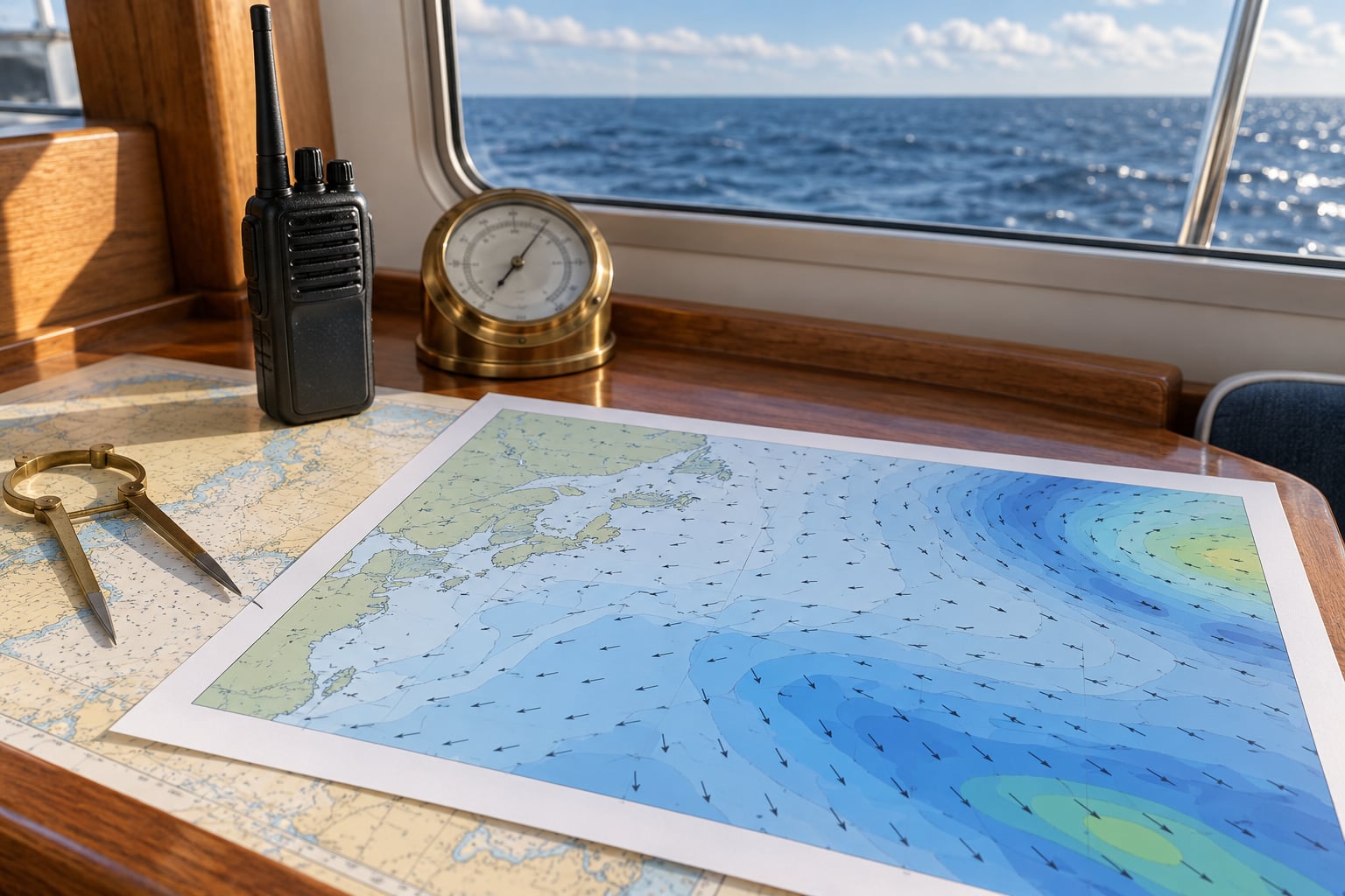
Add a barometer you can watch trend, and your own boat’s limits in writing: the wind speed you have decided not to exceed, the sea height that makes your crew seasick or your autopilot work, and the point on the route where you turn around. People who write those numbers down beforehand make better calls under pressure than people deciding in the moment.
The abbreviations you will meet first
- CWF — Coastal Waters Forecast
- OFF — Offshore Waters Forecast
- HSF — High Seas Forecast
- UGC — the Unified Geographic Code identifying each zone
- SCA — Small Craft Advisory
- SMW — Special Marine Warning
- NWR — NOAA Weather Radio
- NDBC — the National Data Buoy Center network
- DWPD — Dominant Wave Period, the number to look for on a buoy page
Step-by-Step: How to Read a Marine Weather Forecast Line by Line
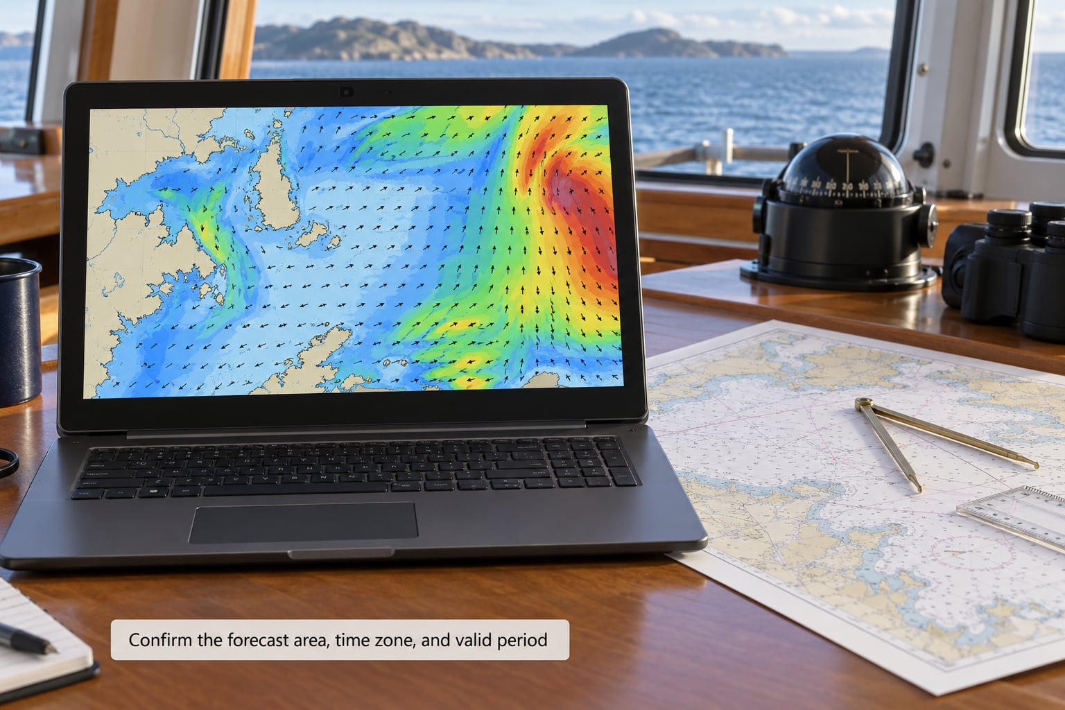
1. Confirm the forecast area, time zone, and valid period
Open the forecast for the zone that covers your route, not the zone that covers where you want to fish. Read the issue time first and confirm the period you are planning to be on the water falls inside the forecast’s valid window. Then check every zone the trip touches, because a calm bay and an exposed bar can sit in different zones with wildly different numbers.
The product names themselves tell you how much sea room is built into the numbers. Coastal zones are broken down at a finer scale, with more detail on visibility and wind at nearshore stations. Offshore and High Seas forecasts are broader and describe conditions over a much larger area, which means the numbers are an average over that area rather than what you will feel at your exact position.
2. Read wind speed, direction, and gust forecasts
Wind direction in a marine forecast comes FROM the direction named. A northwest wind blows from the northwest toward the southeast. This trips up almost everyone at least once, so treat it as a reflex rather than something to reason through. On a chart, the arrow or barb points the way the wind is going, while the label gives where it comes from, and the two look opposite when you first see them.
Speeds are in knots. One knot equals about 1.15 miles per hour, so 20 knots is roughly 23 mph. Read the range as a range, not a midpoint: “north winds 15 to 20 knots” means most of the period sits between those values, with the higher end more likely on the exposed side of the route.
Sustained wind is the average over the period. Gusts are short peaks, and the spread between them tells you what the trip will feel like. A steady 12 knots is a quiet ride. The same 12 gusting to 25 is a trip where everyone holds on, heads go under, and small boats get wet from the seat down.
| Beaufort force | Wind speed | What the water looks like |
|---|---|---|
| Force 3 | 7 to 10 knots | Large wavelets, scattered whitecaps, fairly frequent |
| Force 4 | 11 to 16 knots | Small waves growing longer, frequent white horses |
| Force 5 | 17 to 21 knots | Moderate waves, many white horses, some spray |
| Force 6 | 22 to 27 knots | Large waves with foam crests, scattered spray |
Then compare direction to your heading, because the same wind speed changes the trip completely. A following sea pushes you along and rarely bothers a hull. A head sea stops you dead, drives water aboard, and makes every wave a head-on collision. A beam sea rolls the boat, which pushes crew around, stresses a mast, and yanks the helm. Long, slow groundswell rolling in on the beam is far less dangerous than short, steep wind waves on the same heading, because the period differs even when the height does not.
3. Interpret wave height, period, and sea state
Seas in a forecast are given as significant wave height: the average height of the highest third of the waves. It is a statistical measure, not the biggest wave. A forecast of 4 feet means you will see crests near 4 feet regularly, and individual waves well above that, particularly if the period is short.
That is why the number next to it matters more than the number itself. A 4-foot sea at 12 seconds is a long, rolling swell that most boats handle comfortably. The same 4 feet at 4 seconds is a steep, confused, pitching mess that is far more dangerous than a 6-foot swell at 15 seconds. The short-period waves you want to worry about are the ones close to the wind speed, because they arrive faster than the boat can settle between them.
| What you see | What it means | Call |
|---|---|---|
| Height 2 to 3 ft, period 10 to 14 seconds | Long groundswell, easy motion, little wind effect | Go, if the wind allows |
| Height 3 to 5 ft, period 8 to 10 seconds | Mixed, workable ride for a normal hull | Go, plan for a wet ride |
| Height 4 to 6 ft, period 5 to 7 seconds | Short, steep wind waves, boat pitching hard | Reconsider, shorten the run |
| Height 4 ft, period 4 seconds | The classic 4 by 4 sea, no room between crests | Stay home |
| Any height, period under 5 seconds | Chop, not swell, driven directly by the wind | Move with the wind or wait |
Also separate the components. Wind waves, or seas, are built by the wind blowing over open water, so they point the same direction as the wind and they arrive in the wind’s wake. Groundswell comes from distant weather, points where it came from, and survives a local wind that has gone calm. When a forecast lists both, it usually says something like “mixed swell, W 2 ft at 8 seconds, S 1 ft at 15 seconds,” and you add them together for total height while keeping the shorter period in mind as the uncomfortable part.
One warning about fetch. The number describes the water in that zone, not the water you cross. A long fetch of open water across a bay mouth or behind a barrier island can build conditions far worse inside a sheltered backwater than the zone text implies, and local observers are the ones who see it first.
4. Check visibility, precipitation, and weather hazards
Visibility is a marine forecast field that coastal readers still skim past, and it deserves the same attention as wind. Dense fog, sea smoke on a cold morning, or rain squalls cutting visibility to a mile or two change collision risk far more than the numbers suggest, because you stop seeing traffic and other boats stop seeing you.
Thunderstorms bring lightning, sudden wind shifts, and downdrafts that arrive out of a sky that looked harmless ten minutes earlier. A line of storms crossing your route at an angle will give you one clean window, and you have to be ready to use it or accept the wait. Any marine robot with a mast, antenna, or sensor above the surface needs the same storm thinking as a fiberglass boat.
Read the squall wording closely. A forecast that says “scattered showers with a few thunderstorms” is not the same as “thunderstorms likely,” and the difference is often the whole trip. In cold water, also check for any ice or freezing spray mention, which changes what your hull and any exposed sensor can tolerate.
5. Read the small print and probability information
Every forecast has a phrase layer where the tone quietly changes the meaning. This is where most misreadings live.
| Phrase in the forecast | What it technically means | What it means for your trip |
|---|---|---|
| NW winds 15 to 20 kt | Sustained from the northwest in that range | A beam or head sea depending on your heading |
| Increasing to | The later period will be rougher | Time the trip to the earlier period or reschedule |
| Becoming | A gradual shift across periods | Expect the new direction by mid-day |
| Chance of showers | A stated probability, often 30 or 40 percent | Wet but rarely a washout |
| Scattered / scattered showers | Patchy, roughly 40 percent coverage | You will get wet, then dry, then wet |
| Occasionally / intermittent | Short-lived events in limited areas | Manageable unless they contain lightning |
| Nearby | Right next to your zone, sometimes overlapping it | Treat it as your zone until proven otherwise |
| Isolated thunderstorms | Few storms, but they can be severe | Watch the radar, keep a way home open |
| Waterspouts | Tornado-like columns over water | Change plans entirely |
| Small craft advisory in effect | See the thresholds below | Know your boat’s category, not just your age |
Probability is not a guarantee. A 40 percent chance of thunderstorms means roughly a four in ten chance somewhere in the zone during that period, which can be a non-event at your actual position or a direct hit. Never use a percentage to decide to go; use it to decide how much weather you are willing to leave the dock for.
The advisory layers carry hard numbers, and they are worth memorizing because you can apply them to any coast:
- Small Craft Advisory: sustained winds or gusts of 21 to 33 knots. Also issued for rough bar conditions, seas around 7 feet in some zones, or hazardous surf. It applies to all vessels under about 26 feet, which means the 61-foot crab boat in that r/boating thread was never in the “small craft” category even though the advisory was running.
- Gale Warning: 34 to 47 knots.
- Storm Warning: 48 to 63 knots.
- Special Marine Warning: 40 to 56 knots of brief, sudden wind lasting under an hour, or waterspouts and tornadoes.
- Tropical Storm Warning: 34 to 63 knots from a named system.
- Hurricane Warning: 64 knots and above.
A warning means conditions are expected. A watch means they are possible, typically within 12 hours. An advisory means a specific hazard exists at or near the zone boundary. People treat every advisory headline as an automatic cancellation, and then they lose trust in a forecast that was accurately describing a rough bar crossing.
6. Compare forecast conditions with current observations
Before departure, look at what is actually happening now. An NDBC buoy page gives measured wind, pressure, water temperature, and wave data, including the DWPD number. That period is the closest thing you have to ground truth, and it tells you whether the forecasters are currently on track.
Wind running above the forecast range means the model is under-calling and will likely be revised upward. Wind below it and pressure steady or rising means the numbers may improve. A barometer falling quickly, more than a few tenths of an inch an hour, usually precedes a squall line or a frontal passage and is the cheapest early warning you have.
Also reconcile honestly. Forecasts over-warn in exposed zones constantly, because the zone covers the worst place in it. Someone who feels a glassy morning and thinks the forecaster was wrong will stop trusting the product, and will be wrong on the day it actually mattered. If you felt calmer than forecast, note the zone, the conditions, and the hour, and use that to judge the shelter in your own water next time. You cannot accurately forecast current at all, and current is frequently the hardest thing on the route.
Forecast-versus-reality is also how you build honest personal limits. Boaters report three-foot seas at a four to five second interval and finding closer to two and a half feet, very short and steep: uncomfortable rather than tall. That is not the forecast being wrong. That is the height and period meaning exactly what they were supposed to.
7. Turn the forecast into a go or no-go plan
The last step is the one most people skip: write the decision down before you leave the house, in numbers, so nobody has to make it in the dark or in the argument at the ramp.
- Set the limit. Maximum sustained wind, maximum gust, maximum sea height, minimum acceptable period. Write them on the boat.
- Compare the worst credible case. Take the higher end of each forecast range for your period, not the midpoint. If the worst credible case exceeds your limit, you either wait for the improving period or stay home.
- Name the abort trigger. A specific number or place. Usually it is a sea height or a pressure drop, and usually it is a position on the route rather than a feeling.
- Pick the shelter. Where you go if the forecast was optimistic, and how long it takes to reach it.
- Account for current. Wind against an ebb tide at an inlet or over a bar is the classic killer of otherwise reasonable days. A four-foot swell and a four-foot ebb combine into eight-foot standing waves at the entrance, in water where the depth barely covers the bar.
- Tell someone. Float plan, route, turn-around point, and when to expect you back. An overdue boat with a float plan is a search; one without is a guess.
Common Mistakes That Turn a Good Forecast Into a Bad Day
Reading the beach forecast instead of the marine zone forecast
The most common error by a wide margin. A city forecast of 58 degrees and a 20 percent rain chance tells you nothing about a 15-knot easterly and a four-foot bar tide. Open the marine product and check for units of knots and feet; if you see a high and a low, you have the wrong page.
Reading wind direction as where the wind is going
NW wind comes from the northwest. Getting this backwards means you plan a beam-sea crossing as a head-sea one. Write the direction down with the word “from” attached until the reflex is permanent.
Anchoring on wave height and ignoring period
This is the mistake experienced people warn newcomers about most often. Watch for high waves with a short period, not height alone. Twelve feet at thirteen seconds is a long groundswell a well-built hull rides out; four feet at four seconds is a different problem entirely.
Reading the average instead of the range
“SW winds 20 to 30 knots” is not a 25-knot day. If your boat’s limit is 25, the upper half of that range is a no-go, and the gust value is often higher again.
Ignoring the tide at the inlet
A benign forecast becomes an unmakeable bar crossing when the ebb is running hard against the wind. Check the tide table alongside the forecast, every time, and treat wind against ebb as a hard limit rather than a judgment call.
Trusting one source
App only, with no radio and no buoy, is a single point of failure that disappears exactly when you need it. Keep a broadcast source and a data source as backup, and know how to reach both before you need them.
Trusting the forecast too far into the future
Beyond about three days, treat the numbers as a trend rather than a plan. Re-check at 24 hours, again at two hours before you leave, and once more on the water. That cadence catches most of the drift between what was predicted and what arrives.
Frequently Asked Questions
How far in advance should I check a marine weather forecast?
Check at three stages rather than once. Twenty-four hours out gives you a picture of the trend and lets you pick a window. Check again two hours before you leave, because forecasts get revised and small craft advisories get issued in that gap. Once underway, monitor NOAA Weather Radio and a buoy report for the real-time picture.
What is the difference between sustained wind and gusts?
Sustained wind is the average speed over the whole forecast period. Gusts are short peaks above it. A forecast of 12 knots gusting to 25 means twelve most of the time with brief hits near twenty-five, which on a small boat means heads go under and everyone holds on even though the average stays moderate.
How should small-boat operators interpret wave height and wave period?
Read both numbers together, because either alone misleads. Height is significant wave height, the average of the highest third of waves, not the maximum. Period is the seconds between crests. Long periods mean rolling groundswell you can power through; short periods under five seconds mean steep chop the hull cannot absorb.
What do marine weather warnings mean?
A Small Craft Advisory covers sustained winds or gusts of 21 to 33 knots and applies to vessels under roughly 26 feet. A Gale Warning starts at 34 knots, a Storm Warning at 48 knots, and a Hurricane Warning at 64 knots. Special Marine Warnings flag brief sudden winds under an hour, plus waterspouts and tornadoes.
Is it safe to go out when the forecast says conditions are improving?
Often yes, because improving trends open real windows, but read the direction of improvement. Falling wind with a long period left over is the best case. Falling wind with a steep short-period chop still dying out is bumpy but safer. Check that the improving period is long enough for your actual route, including the run home, before you commit.
Conclusion: Check the Exact Route and Exact Time First
Open the forecast for the exact zone and the exact period you will be on the water, then compare the worst credible number in each range against the limits you wrote down beforehand. One rule covers most of it: the lower the wind, the wave height and the wave period, the better the day. If any one of the three is high and short-perioded, wait for the window.