How to plan around wind forecasts means building a decision that holds across the whole range of likely wind speeds and directions, not betting on a single number from a single model. You set your go or no-go limits first, then look for the window where the entire ensemble spread sits inside them. Most of the work takes about 20 minutes at a screen, and the hardest part is deciding your limits before you have an opinion about the day.
A forecast is the easiest part of the trip to get wrong. Skipers and robotics teams rarely get burned because a model missed by two knots. They get burned because nobody wrote down the number at which they would turn back, and by the time conditions hit that number, deciding feels like admitting the plan failed.
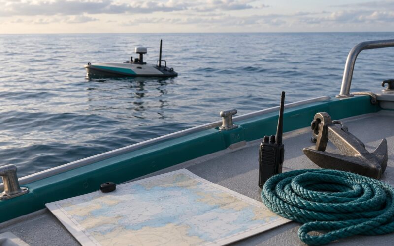
What follows is the process I use, and it works the same whether you are moving a 4 metre open boat or a 6 metre autonomous surface vessel out to a sensor station: set a limit, choose a route with a sheltered alternative, cross-check sources, build in slack, monitor, and decide the abort before departure rather than during it.
Table of Contents
What You Need
Before you look at a single model, gather five things. Missing any one of them is what turns wind forecast planning into guesswork with extra steps.
- The official marine forecast. Your national weather service’s marine zone product, plus any small craft or gale advisories for your area. This is the only source that carries legal weight for a go/no-go call on most waters.
- Ensemble access. GEFS and the ECMWF ensemble (EPS) are both freely viewable. Deterministic runs alone tell you one plausible future; the ensemble tells you how much the models disagree about it.
- Recent observations. Nearby buoy or coastal station readings, and radar. Observations beat forecasts at the present moment because they are the present moment.
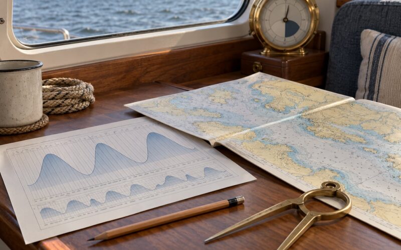
- Chart, tide and exposure information. Fetch, headlands, wind shadow, current strength at your intended time, and the depth of shelter on the far side.
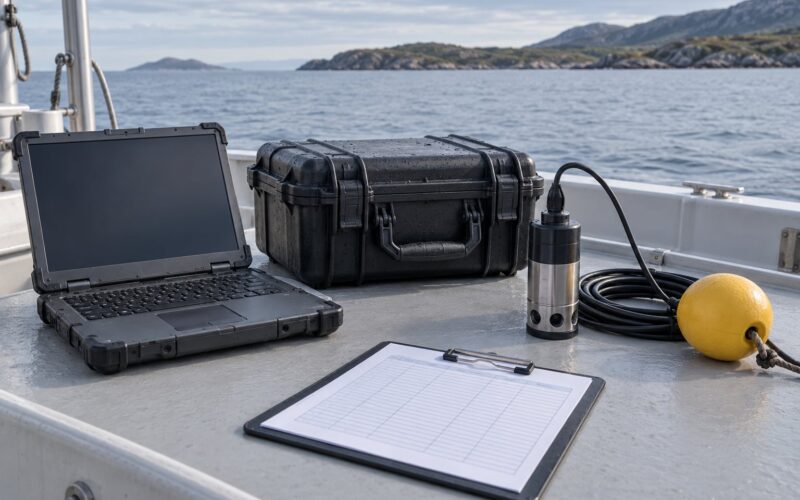
- Your platform’s actual limits. Design wind speed for the hull or chassis, safe freeboard, launch and recovery limits in swell, battery endurance, and where your crew stops being comfortable.
Add one more: the local warnings that never appear in a model. Harbour masters, marina staff and lifeboat crews see things early. A phone call is often worth an hour of chart reading.
Step-by-Step: How to Plan Around Wind Forecasts
The sequence matters more than the individual tools. Limits first, because they constrain everything after. Here is how to plan around wind forecasts in six steps, and the order is deliberate.
Set a wind and sea-state limit before departure
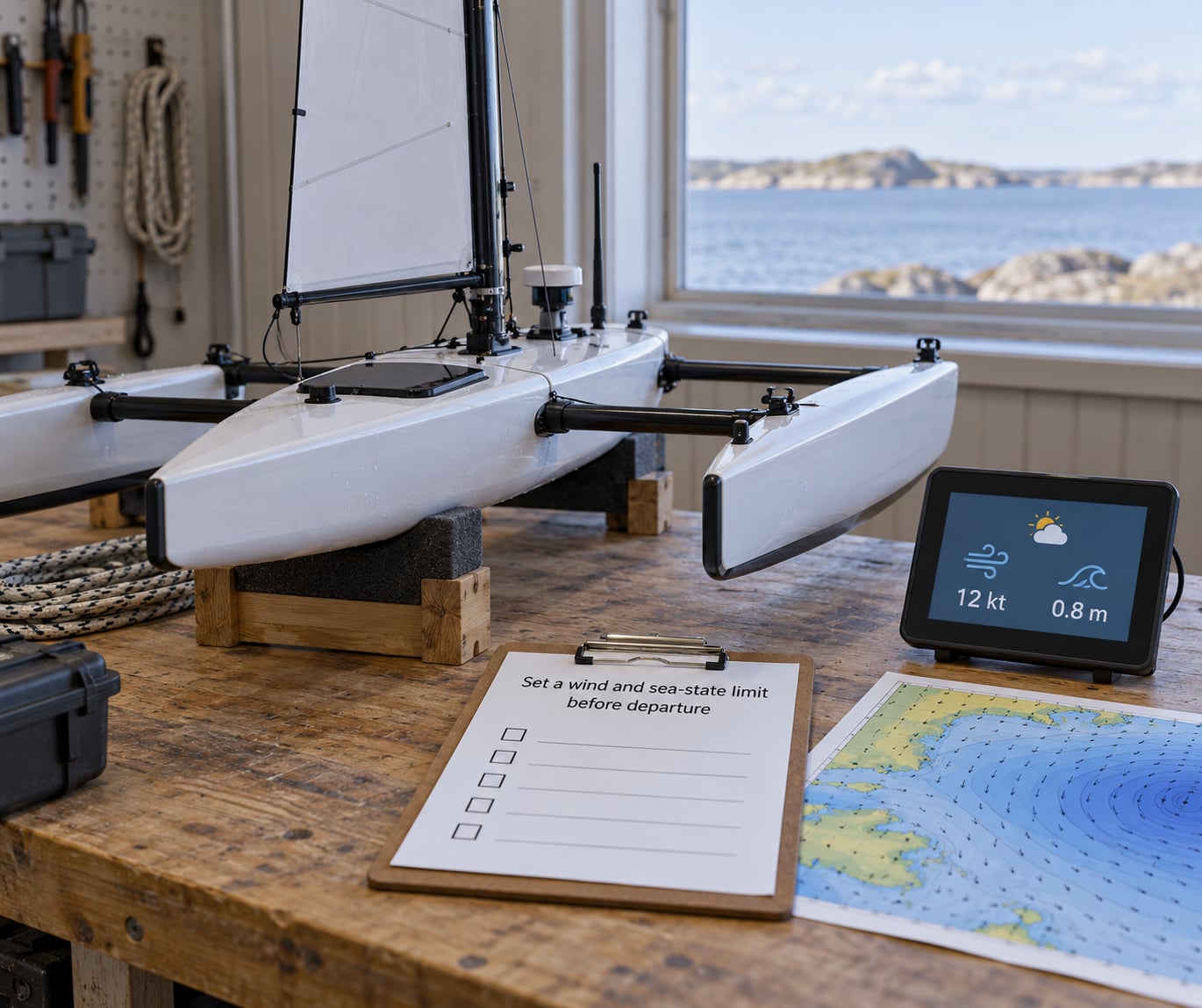
Start by writing a number, not by looking at the forecast. The order is backwards for most people, and that is why they end up rationalising.
Derive your limit from four things: the platform’s design wind, the crew’s experience, how exposed the route is, and the margin you want between forecast conditions and your safe operating range. Fetch and sea state matter as much as speed. A 15 knot wind over a short fetch into a low swell is a very different operation from 15 knots across 40 kilometres of open water with a 1.5 metre swell running.
| Platform or operation | Sustained wind limit | Gust limit | Significant wave height | Abort trigger |
|---|---|---|---|---|
| Small open boat, crewed, coastal | 15-18 kt | 22 kt | 0.8 m | Gust 20 kt or visibility loss |
| Small open boat, sheltered water only | 20 kt | 27 kt | 1.0 m | Wind shadow effect breaks down, gust 25 kt |
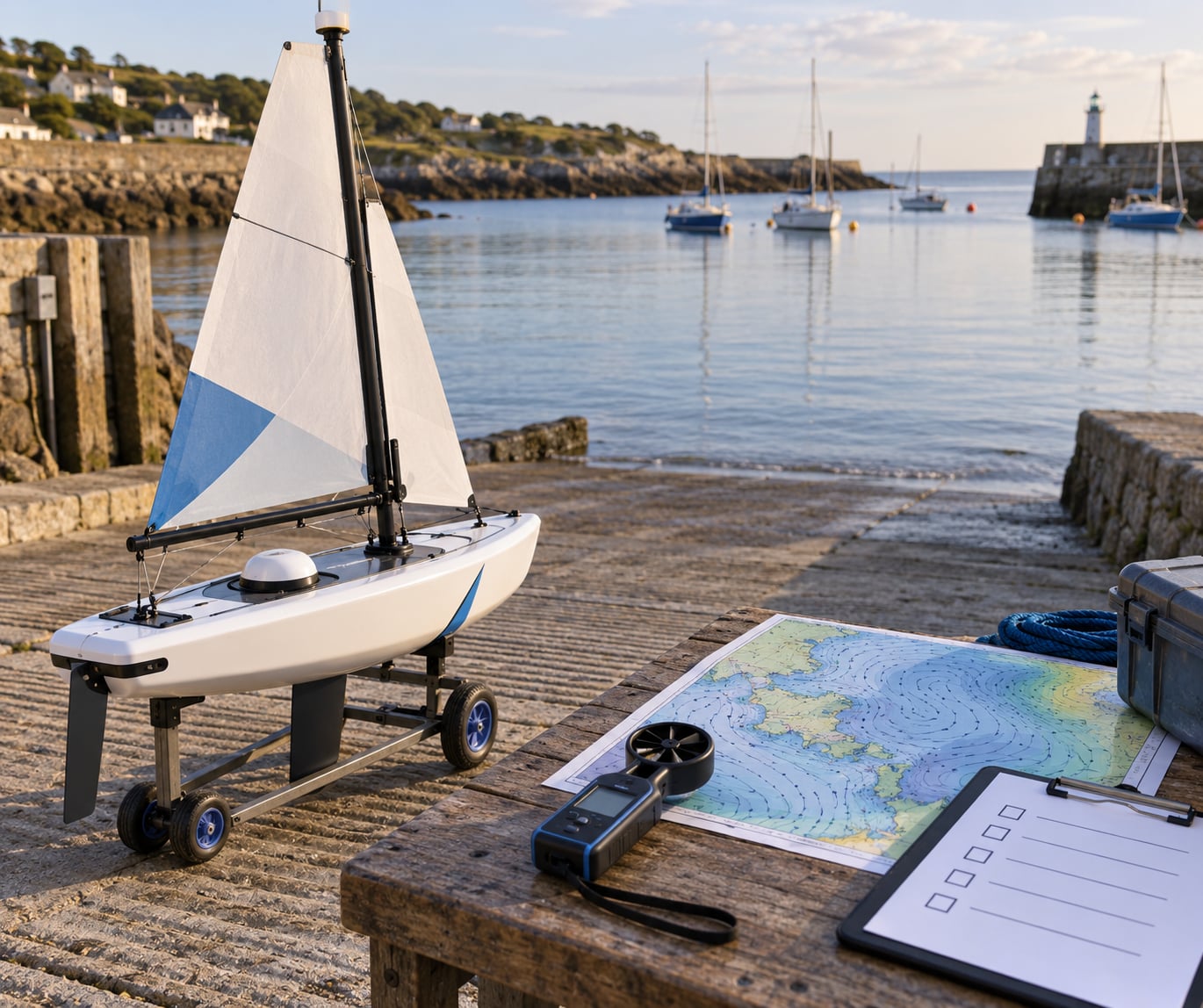
| Launch and recovery operations | 12 kt | 16 kt | 0.5 m, and beam swell under 0.4 m | Any beam swell at the ramp |
| Unmanned surface vehicle transit | Design limit minus 30 percent | Design limit minus 15 percent | 0.7 m | Onboard anemometer above 80 percent of limit |
| Station-keeping at a sensor site | 10-12 kt | 16 kt | 0.6 m | Drift beyond station radius, gust 15 kt |
These are starting points drawn from typical practice, not certified limits. Your vessel’s design data and skipper’s judgement always override a table. For an autonomous platform I subtract a flat margin rather than reasoning it out: a 20 knot design wind becomes a 14 knot operating limit, and the abort trigger sits at 80 percent of that, around 11 knots.
One more piece of arithmetic matters more than the table. Your limit has to beat the pessimistic end of the spread, not the median. If the ensemble runs from 12 to 24 knots in your window, a 15 knot limit means the trip is a coin flip, and it should be treated as one.
Choose a route with sheltered alternatives
Two routes between the same two points are not equal. Wind direction decides which one, and a forecast that favours one option at 09:00 can favour the other by 15:00 as a front passes.
Compare candidates on exposure and on escape points. Ask how far the wind has travelled over open water before it reaches you (fetch), what the gust factor looks like over that fetch, whether current at your planned time sets against you, and how many places you can actually duck into if it turns. A route that takes forty minutes longer but passes within sight of a lee shore is usually the better bet.
Concretely: a headland route that shelters you from a northerly blows past exposed water and gives you three fallback anchorages beats the shorter direct line across the open, even when both read 14 knots on the forecast. The shorter line has nowhere to go when the forecast is wrong, which it will be at some point.
Check multiple sources and forecast layers
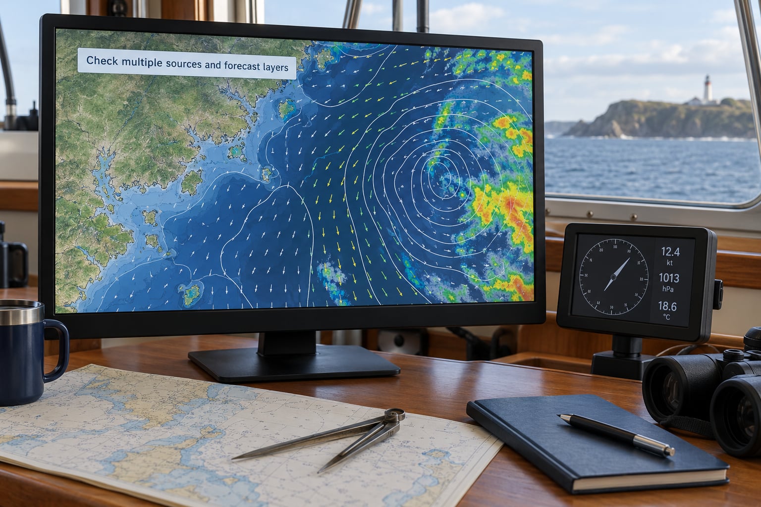
No single source is reliable enough to decide a trip on. Agreement between sources is what buys confidence; disagreement is a signal to add margin, not to pick your favourite.
Layer four things. Start with the official marine forecast for the legal position and the broad picture. Add the ensemble for the spread and the percentile bands, where the 10th to 90th percentile shows you the range 80 percent of members fall inside. Then add observations, because radar shows you where the squall line actually is rather than where a 12 kilometre grid cell thinks it will be. Finish with a high-resolution regional or elevation-corrected model for the last few kilometres near shore.
If the deterministic runs from two major centres agree within two or three knots for your window, plan near the consensus. If they disagree by ten, the disagreement is the forecast. Either wait for the models to converge, or plan against the pessimistic one.
| Source | What it is good for | Known weakness |
|---|---|---|
| Official marine forecast | Advisories, legal cover, zone summaries | Coarse resolution, smoothed peaks |
| GEFS ensemble | Spread and percentiles out to about 10 days | Coarse grid, biased in complex terrain |
| ECMWF ensemble (EPS) | Often the tightest mid-range spread | Slower to update than GFS |
| Regional high-resolution models | Coastal terrain, bays, short transits | Narrow coverage, needs an orography assumption |
| Buoy and station observations | Ground truth right now | Point readings, often offshore your route |
| Weather radar | Squall lines and cell movement | Short lead time, poor offshore coverage |
Direction gets misread more often than speed. On a station model or a chart, read the barb or the flag, not the decorative arrow. Wind is named for where it comes from, and a plan built on that reversed flips your whole exposure calculation.
Build in time, not just favorable wind
A safe window you cannot reach is not a window. Work backwards from the return, not forwards from the launch.
Take the expected travel time, add current against you, add progress losses for headwind and a slow sea, and then add a margin for forecast error that grows with lead time. A 24-hour forecast deserves a smaller margin than a three-day one; a wide spread deserves a bigger one than a tight cluster at the same lead time.
Then check daylight, tides at both ends, and the slack between arriving and the window closing. The trip most often fails because the plan assumed the outbound leg ran at the modelled speed and it did not.
Monitor conditions continuously and define trigger points
Underway, the plan updates on a schedule you set before departure. Check the latest model run and radar every 30 to 60 minutes, and log what you see.
The useful move is comparing your onboard measurement against the prediction. If the anemometer reads 11 knots where the model called for 8, you are already 30 percent over plan and the trend matters more than the value. A steady drift above forecast usually means the next hour is worse. A single gust means nothing; a gust factor higher than the local norm means the model is under-predicting the peaks.
Decide in advance what each signal does. Above 80 percent of your limit: reduce operation, reef, or drop to the sheltered route. Above your limit: head for shelter. Gusts exceeding the gust limit: treat the forecast as stale and re-derive it from what you have measured.
Create a backup plan and a clear abort decision
Before you launch, name the fallback in writing: the alternative route, the shelter, the harbour or anchorage, the recovery point if launch has to be abandoned, and one person ashore who knows where you are and when you are due back.
The abort threshold has to be a number plus an action, decided while you are calm. “If sustained wind exceeds 16 knots or gusts hit 22, we drop the sensor and return to the inner mooring” is a plan. “If it gets rough” is not.
Write the cost of hesitation into the plan too. Waiting idles a battery, burns crew hours and can cost you the weather window entirely. A defined abort is not indecision; it is what lets you commit to the outbound leg honestly.
Common Mistakes
Eight mistakes account for most wind-related problems I have seen in field operations, and every one has a cheap correction.
- Anchoring on the friendliest model line. One member predicting a calm window proves nothing; members exist to show you the disagreement. Plan against the fan, not the friendliest thread.
- Reading the average and ignoring the peaks. Mean wind understates what a small hull feels. Use the forecast gust figure and a gust factor appropriate to your fetch, often around 1.3 over open water.
- Ignoring direction. Speed alone is meaningless for routing. A 12 knot northerly and a 12 knot southerly send you to opposite ends of your options.
- Starting too late. The forecast improves as the window approaches, so late planning means late information and less time to act on it.
- Relying on one map. A single deterministic run is one opinion. Two independent centres agreeing is evidence.
- Leaving with no return plan. Know your fallback route and shelter before you know your outbound conditions.
- Failing to turn back early. Deciding at the limit wastes the margin you set. Trigger at 80 percent, not at 100.
- Treating model wind as ground wind. A 10 metre reference wind ignores terrain funnelling, ridge acceleration, cold-air outflow, and the wind shadow behind a headland or container wall.
Two safety reminders. Official warnings and local rules always override anything written here, and the skipper’s call is final. If a forecast sits near your limits, the conservative option is the right one; nobody has ever been criticised for a weather window they declined.
Frequently Asked Questions
How far ahead is a wind forecast reliable?
For surface wind at a coastal site, the useful range is about 48 to 72 hours, and direction is trustworthy a little longer than speed. Beyond three days, ensembles still give you a usable probability of a workable window, not a reliable value. Plan long transits on the ensemble percentile bands, and re-check the deterministic runs inside 24 hours of departure.
How much wind is too much for a small boat?
There is no single number, because fetch, sea state and crew experience change the answer more than the wind figure does. Most coastal open boats work comfortably to around 15 to 18 knots sustained with gusts near 22, and much less in a beam swell. Check your hull’s rated design wind and subtract a margin, since the design limit describes survival rather than comfort.
What does a wide spread on a wind forecast mean?
It means the models disagree about your window, and the real answer lies somewhere in the fan. A tight cluster gives you a decision; a wide one gives you a probability. Either plan against the pessimistic member, or wait for a run where the spread narrows. Treating the median as if it were certain is the single most common planning error.
Should I cancel a boat trip because of wind?
Cancel when the pessimistic end of your forecast spread crosses your limit, not when the average does. Also cancel when you cannot identify sheltered alternatives or a fallback harbour, and when the only clear window sits at one end of your daylight. If you are arguing with the forecast, that disagreement is itself good enough reason to wait for the next run.
What is the most accurate wind forecast model?
No single model wins everywhere, and the honest answer is that ensemble agreement beats any individual name. The ECMWF ensemble and GEFS are both strong at surface wind, and high-resolution regional models often beat both near complex coastline. Use two independent centres, weight recent run-to-run consistency, and treat a regional model as a refinement rather than a replacement.
Can I use my phone to measure wind speed?
Yes, approximately. A handheld anemometer read in open air away from the hull gives a usable trend, and phone apps that use the microphone to infer wind noise are rough at best. The useful role is comparison: does the onboard reading track the forecast, sit above it, or run well past it. A phone cannot measure gust factor or direction reliably, so do not build a go/no-go on it alone.
Conclusion
Wind forecast planning is a short procedure: set a limit before you look at the data, pick a route with a sheltered alternative and escape points, cross-check two independent sources plus observations, build slack into the timing, monitor on a schedule, and write the abort decision down while you are still calm.
Start with the smallest version of it. Open your official marine forecast and the ensemble for your zone today. Write down the highest wind you will accept, the gust number that makes you turn back, and the harbour you would run for. That is the whole framework, and it makes the next trip decision much faster than the last one.
This guide supplements official marine warnings and your own vessel limits. It never replaces them.