To get permission to deploy a sensor buoy you need written authorization from every body with jurisdiction over your specific site — usually the U.S. Army Corps of Engineers for work in navigable waters, the Coast Guard if the buoy marks or obstructs navigation, and the state or local water manager on top of both. Start by identifying the site owner and the controlling authority for that waterbody, then submit a written deployment and safety proposal.
Most people who get into trouble here did one of two things: assumed a public waterway was free to use, or deployed first and asked later. Both are avoidable, and both are the reason the paperwork feels heavier than the hardware. The process itself is not complicated once you know who to write to and what they want to see.
How long it takes depends almost entirely on the waterbody. A small moored buoy on an inland reservoir can sometimes clear in a few weeks. Anything in coastal waters or a shipping channel tends to run months, because those sites pull in public notice, environmental review and navigation coordination.
This guide walks the process end to end, and it is procedural guidance rather than legal advice. Rules differ by waterbody and jurisdiction, so treat every step below as the framework for your conversation with the agency, not as a substitute for it.
Table of Contents
- What You Need
- Step-by-Step
- How to Get Permission to Deploy a Sensor Buoy in 8 Steps
- 1. Identify the Site Owner and Controlling Authorities
- 2. Check Local, State, and Federal Requirements
- 3. Choose a Low-Impact Deployment Location
- 4. Prepare a Deployment and Safety Plan
- 5. Contact the Right People in Writing
- 6. Submit a Complete Proposal
- 7. Resolve Conditions and Obtain Written Approval
- 8. Deploy, Monitor, and Close Out the Site
- Common Mistakes
- Frequently Asked Questions
- Do I need permission to put a buoy in public water?
- Who owns a navigable river or coastal waterway?
- What documents do agencies usually request for a sensor buoy?
- Does installing a buoy require an environmental permit?
- How long does it take to get permission to deploy a buoy?
- Can I deploy a sensor buoy on private shoreline or seabed?
- Do I need permission to collect and publish buoy sensor data?
- What should I do if the owner or authority does not respond?
- Conclusion
What You Need
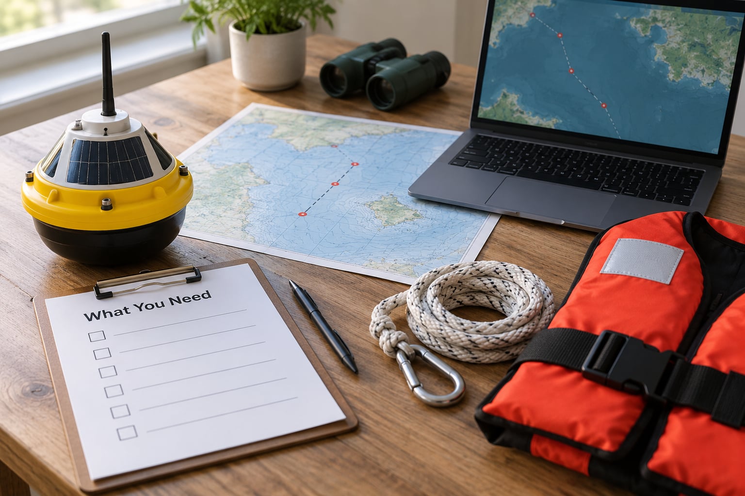
Assemble this material before you contact anyone. Agencies that receive a vague inquiry stall; agencies that receive a complete package usually move straight to review.
Site information
Exact coordinates in decimal degrees, a site map with the deployment position marked, water depth at the site, the distance to the nearest shore or structure, and the state, county and waterbody name. If you do not have a survey, say so and note the depth source you used.
Buoy and mooring plans
Float dimensions and freeboard, ballast weight and where it sits, the mooring configuration (single-point, two-point, or chain), anchor type and expected holding power, and a line-length calculation with scope for the deepest expected tide or water-level swing. A simple sketch with dimensions beats a marketing brochure here.
Safety materials
Your deployment method and vessel, crew size, personal flotation and rescue gear, a weather go/no-go limit, and the emergency contact list for the deployment crew. Reviewers want to know what happens to your people, not just your hardware.
Environmental details
What the instruments measure, whether anything is discharged near the site, the sensitivity of the surrounding habitat, known seasonal restrictions such as spawning or nesting windows, and your site-restoration commitment for removal day.
Insurance and ownership
Proof of general liability and, where the project warrants it, pollution liability coverage. Also write down who the permittee will be: the person or organization that owns the buoy, pays for it and is responsible for it after the paperwork. Permits attach to the permittee, not to the hardware vendor that shipped the box.
Owner and agency contacts
The name, mailing address and email of the land or waterbody owner, the waterway authority, the harbor or port control, and the state agency covering coastal or freshwater permits. Build this list in the first week; it takes longer than people expect.
Step-by-Step
How to Get Permission to Deploy a Sensor Buoy in 8 Steps
Define the buoy’s purpose, location, operating period, mooring method, sensor package, recovery plan and responsible person before you contact a single regulator. Then move through these steps in order: identify the owner and authorities, check the rules, pick a low-impact site, prepare the deployment and safety plan, write to the right people, submit a complete proposal, resolve conditions, and deploy with the paperwork in hand.
1. Identify the Site Owner and Controlling Authorities
Start by answering one question: who controls the water at that exact point? Ownership of the shoreline or the reservoir bed is the starting thread, but it is not the whole answer. A parcel that reaches a river is often underwater leasehold managed by someone else entirely.
Work outward from the site: the shoreline or bed owner, the waterway authority, the port or harbor control, the parks or recreation agency that manages the adjacent land, the state fisheries agency, the state environmental agency, and any navigation or research permits that apply on top of the site authorization. On federal reservoirs, the reservoir manager often requires individual approval for each buoy or marker, layered over the Corps authorization.
How do you find your regulator quickly? Put the coordinates into the state waterbody database and the Army Corps of Engineers district map, which is divided by watershed boundaries rather than state lines, so a single lake can straddle two districts. Then call the district office and ask to speak with the regulatory branch. That one call usually collapses an afternoon of guessing into a list of names.
2. Check Local, State, and Federal Requirements
Permission to occupy or deploy in an area is a separate thing from permits for the activities around it. Treat them as separate line items in your project plan.
Federal: the Rivers and Harbors Act of 1899, Section 10 authorization covers structures and work in navigable waters, including a moored instrument platform. Section 9 of the Clean Water Act applies if you discharge fill material such as an anchor block or a dredged approach. The Corps pathway itself has three doors: an individual permit, a regional general permit, or a Nationwide Permit for qualifying low-impact work. Nationwide Permits are re-issued on multi-year cycles, so always check the version in force for your district as of 2026 rather than relying on a blog post or a memory of the last cycle.
Federal, separate track: if the buoy marks, warns or obstructs navigation, the Coast Guard may need to be involved as a private aid to navigation. That authorization is additional to the Corps, never a substitute.
State and local: coastal zone management programs, state wildlife agency review for protected species or bird habitat, state parks, municipal shoreline rules, and the reservoir or dam operator’s own rules. Federal authorization does not automatically remove state review, so budget for both tracks in parallel rather than in sequence.
3. Choose a Low-Impact Deployment Location
Pick a site that a reviewer can approve on the first read. Reviewers approve the boring options: the sites away from everything.
Check water depth and the tidal range against your scope, currents and storm loading, nearby shipping routes and traffic lanes, reefs and sensitive habitat, swimming areas, and proximity to docks, intakes, aquaculture, cables and other infrastructure. Line-of-sight matters too — a cell or radio telemetry link that has worked from shore during testing can fail under fog or spray. Confirm that a workboat or small craft can reach the buoy for maintenance and recovery.
Skip sites inside a channel, near a turning basin, on a shoal, or in a spot where a lost mooring would foul a propeller. Those get denied or conditioned, and the turnaround cost is the whole schedule.
4. Prepare a Deployment and Safety Plan
The plan is the document that does the real work. It needs to show that you have thought about the anchor, the water, other people’s boats and your own crew.
Cover mooring type and anchor selection, ballast and stability, marker and lighting on the surface unit, collision risk and how the mooring fails safely if it is dragged, battery or solar power limits and the state of the instrument package at the surface, your weather go/no-go thresholds, the maintenance visit schedule, the recovery method and equipment, and 24-hour emergency contacts. Add a line on what happens if the buoy goes adrift: who calls whom, and how the agency learns about it.
Keep it readable. Reviewers read dozens of these and the ones that get approved are the ones that a tired person can follow in ten minutes.
5. Contact the Right People in Writing
Email beats phone for the first contact, because you get a record of what was asked and what was promised. Keep it to one page.
Identify yourself and your organization, state the purpose in a sentence, give the exact site and the proposed dates, name the mooring method, attach the site map and the safety summary, and ask which application pathway applies and who reviews it. Ask for the correct form, the fee schedule if one applies, and the review timeline. If you are a small team or a citizen group, say so plainly — many review routes are shorter for a public-benefit project, and one clear sentence about it is worth the space.
Follow up by phone a week later with a short, friendly nudge. Silence at that stage usually means the question is sitting in someone’s queue, not that the project is dead.
6. Submit a Complete Proposal
A professional package covers these parts, in this order: a cover letter naming the permittee and the site, site coordinates and a map at a scale the reviewer can read, a bathymetry note or survey, technical drawings of the float, instrument cage and mooring, the purpose and scientific or operational justification, the operating timeline, the safety and emergency plan, insurance documentation, environmental safeguards, a data ownership and sharing statement, and a decommissioning and site-restoration commitment.
The data statement is worth a paragraph of your time. Telling reviewers the data goes to a public portal or a state agency, with a named format and update cadence, makes your project easier to approve and reduces the chance of a condition about monitoring obligations you cannot meet.
7. Resolve Conditions and Obtain Written Approval
Expect conditions. They usually arrive as a list attached to the permit, and they are normal.
Common ones: relocate to a different position, restrict the season or the months of operation, post notices to mariners, allow on-site inspection, submit periodic condition reports, change the mooring or anchor design, or coordinate with an existing operator in the area. Take the conditions seriously, because a violated condition is how an otherwise legal deployment becomes a removal order.
Insist on written authorization naming you, the site and the dates. Verbal approval from a phone call is not a permit, and it is not something you can show to a harbormaster or an insurer later. If the agency says no or stays silent, ask in writing what specifically would need to change, and revise once. Written denial reasons are far more useful than a silent no.
8. Deploy, Monitor, and Close Out the Site
Run a pre-deployment check: mooring sound, markings and lights working, telemetry confirmed, safety gear aboard, and the permit document physically on the workboat. Notify the agency of the launch date if your conditions require it, and keep a deployment log with the date, time, position, crew and serial numbers.
Afterward, inspect on the schedule your permit names, log every visit, keep the markers and lights maintained, and report any drift, fouling, damage or injury promptly. Push your data to wherever you promised. File the periodic reports on time, because late reports are the most common reason agencies start paying attention to a project.
Close the loop. Recover the buoy by the date your permit names, remove the anchor and all line, photograph the site, confirm seabed restoration, and file the decommissioning notice. A site that is closed out properly is much easier to get permission for a second time.
Common Mistakes
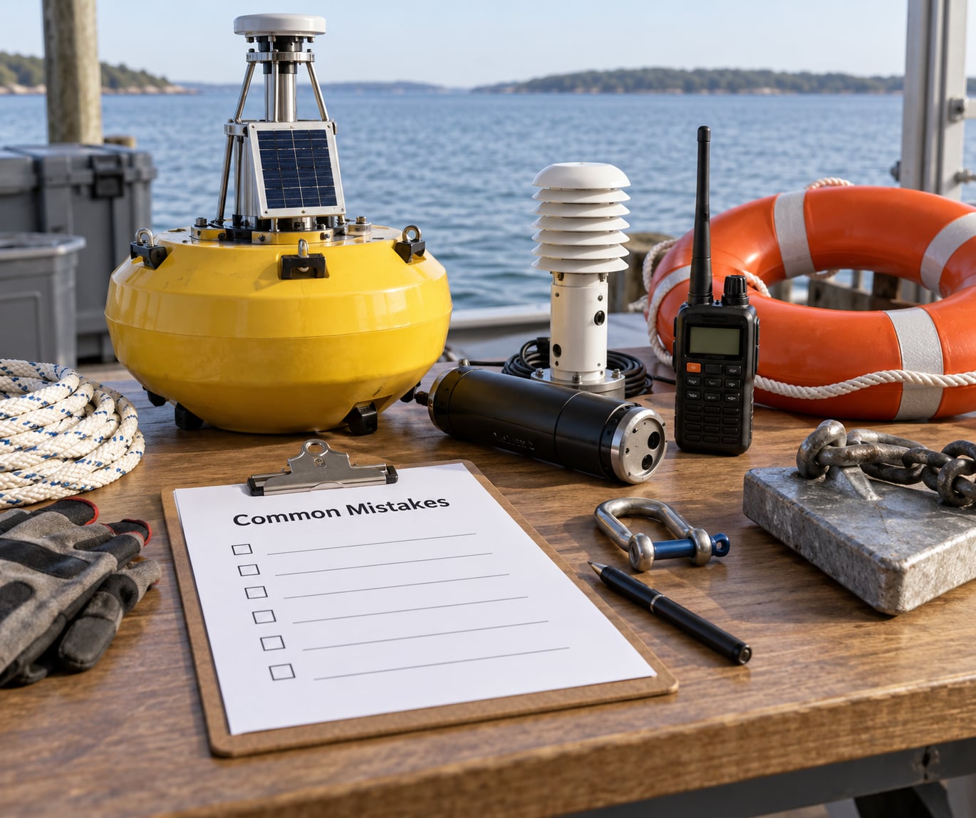
These are the errors that show up again and again, and each one has a simple fix.
Treating a public waterway as unrestricted
Public access to a lake or a bay is not a license to occupy it. Fix: ask the waterbody owner before you buy hardware, not after.
Deploying before written approval
An unpermitted floating object is a hazard to navigation in the eyes of the agency, and removing it can be forced. Fix: treat the launch date as provisional until the permit is in your hand.
Skipping the navigation authority
The Corps looks at the waterway. The Coast Guard looks at what your buoy does to navigation. Fix: contact the Coast Guard water management office in the district early, even if you expect a short letter in return.
Choosing a dramatic site
The most photogenic position in a bay is usually a shipping channel or a shoal. Fix: pick the boring site for the first deployment and move the science site up on the second one.
Leaving no recovery plan
A permit with no documented way to pull the buoy out reads as a plan to abandon hardware. Fix: name the recovery vessel, the lifting method and the people who will do it.
Underestimating the environmental footprint
Small is not automatically exempt, and reviewers notice missing habitat questions. Fix: state the ecological setting and the season you intend to avoid.
Failing to document conditions
Special conditions that live only in a phone call are conditions you will forget. Fix: keep one file per agency with the permit, the conditions, the correspondence and the reporting dates.
Assuming the vendor holds the permit
Hardware suppliers sell equipment, not authorizations. Fix: name your permittee early and confirm every agency in writing that it agrees.
Frequently Asked Questions
Do I need permission to put a buoy in public water?
Usually yes. Placing a moored, anchored or drifting instrument platform in navigable waters, coastal waters or a managed reservoir generally needs authorization, even when the water is publicly accessible. At minimum you need the waterbody owner’s consent, and usually federal authorization under Section 10 of the Rivers and Harbors Act of 1899 plus any state or local approvals.
Who owns a navigable river or coastal waterway?
Shoreline and submerged land titles are the starting point, but the water itself is usually managed by a public body. That can be the Army Corps of Engineers, a port or harbor authority, a state agency, a dam or reservoir operator, or a municipal water department. Because Corps districts follow watershed boundaries rather than state lines, one lake can fall under two districts. Confirm ownership with the county recorder, the state waterbody database and the local district office.
What documents do agencies usually request for a sensor buoy?
Expect a cover letter naming the permittee, site coordinates and a readable map, water depth information, technical drawings of the float and mooring, a purpose statement, an operating timeline, a safety and emergency plan, proof of insurance, environmental safeguards, a data sharing statement and a decommissioning plan. Agencies differ on format, so ask for the current form before assembling anything expensive.
Does installing a buoy require an environmental permit?
Often, yes, though the instrument depends on the site. Federal environmental review under the National Environmental Policy Act can be triggered by a Corps permit, and a NEPA environmental assessment is a common requirement for anything in or near sensitive habitat. State coastal zone, water quality and wildlife agency reviews can apply on top of federal authorization, and federal approval does not automatically remove state review.
How long does it take to get permission to deploy a buoy?
A qualifying low-impact project using a general permit pathway can sometimes clear in a few weeks. An individual permit in coastal waters or a navigable channel commonly runs several months because of public notice and environmental review. Add time for state and local approvals, which usually run in parallel but are not always faster. Start with a pre-application conversation, because a site problem found in week two costs far less than one found in month four.
Can I deploy a sensor buoy on private shoreline or seabed?
You can, but you need the owner’s permission in writing and the site still has to sit within the permitting framework that covers it. A lease or easement from a private shoreline owner does not replace federal or state authorization for the structure in the water. Ask the owner what permits they already hold, and expect to provide proof of insurance naming them as an interested party.
Do I need permission to collect and publish buoy sensor data?
The data itself is rarely the regulated part, and publishing it openly usually works in your favor during review. Two things do need attention: your permit may set data delivery or reporting obligations, and federal or state restrictions can limit collection of certain measurements or in certain sensitive areas. Check any confidentiality terms in your funding or collaboration agreements before you publish.
What should I do if the owner or authority does not respond?
Follow up in writing again, a week later, and copy the alternate contact you were given. Then escalate politely to the next level: the district office’s branch chief, the state agency’s permitting section rather than a general mailbox, or a pre-application meeting request. If the site is a federally operated reservoir, the reservoir manager and the district can usually be looped into the same conversation. Silence is common; persistent silence is a signal to find the right desk, not to deploy.
Conclusion
Start with the site, not the buoy. Map the exact position, identify every body with jurisdiction over that water, and confirm the current permit cycle for that district before you commit to hardware.
Then write a single, complete proposal that covers purpose, mooring and anchor plan, safety, environmental safeguards, insurance, data sharing and removal. Ask who reviews it, what the timeline looks like, and what would make the answer no. Written approval naming you and the site is the only thing that makes a deployment legal — and the project you close out cleanly is the one that gets approved faster next time.